March Nor’easters bring…

Hey Oswegonians! I apologize for the lack of posts – it’s been a long semester thus far for me. Try taking Synoptic Meteorology, Mesoscale Meteorology and a statistics class all at once…

Anyhow, if April showers bring May flowers, what do March nor’easters bring?

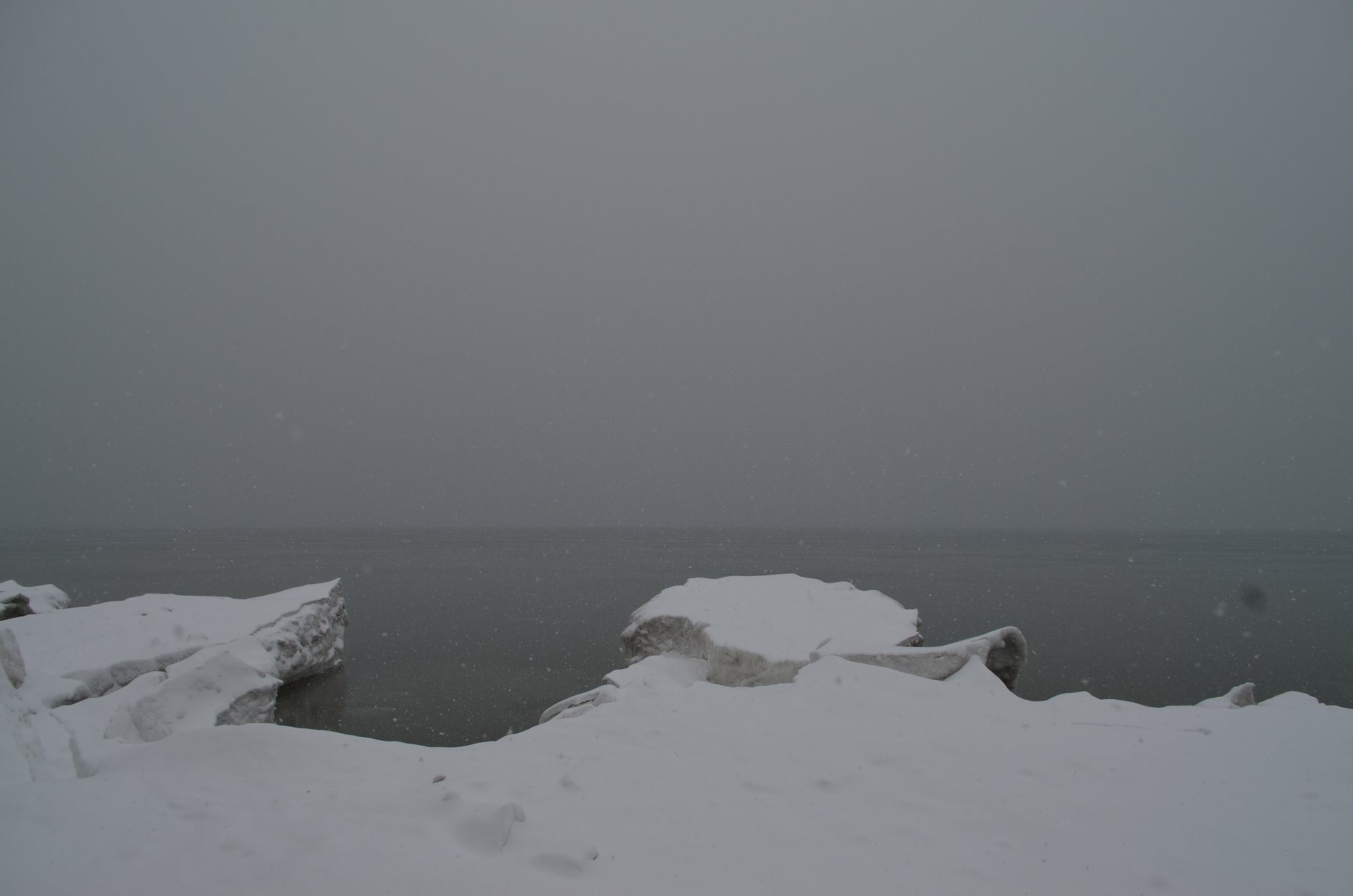
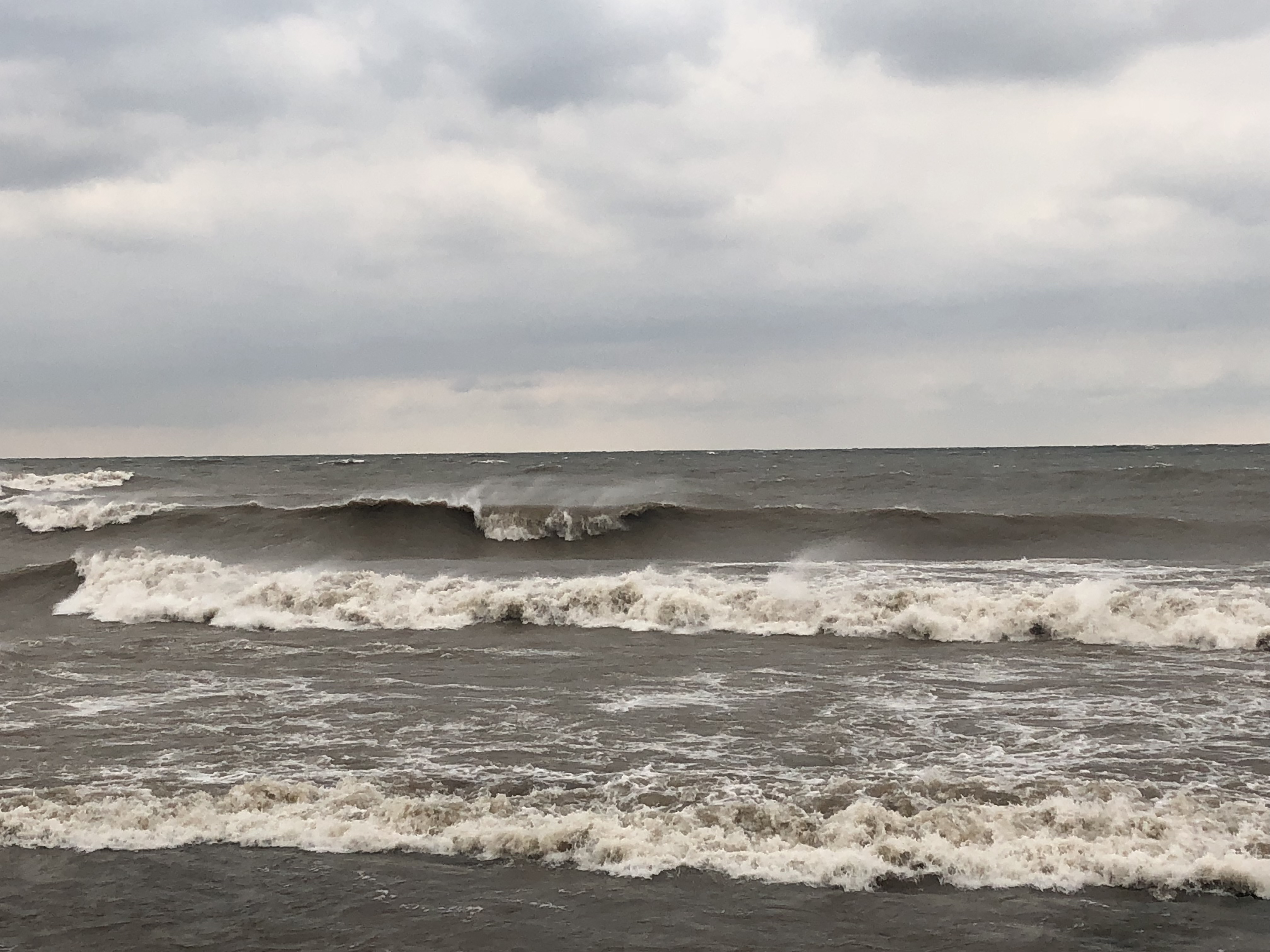
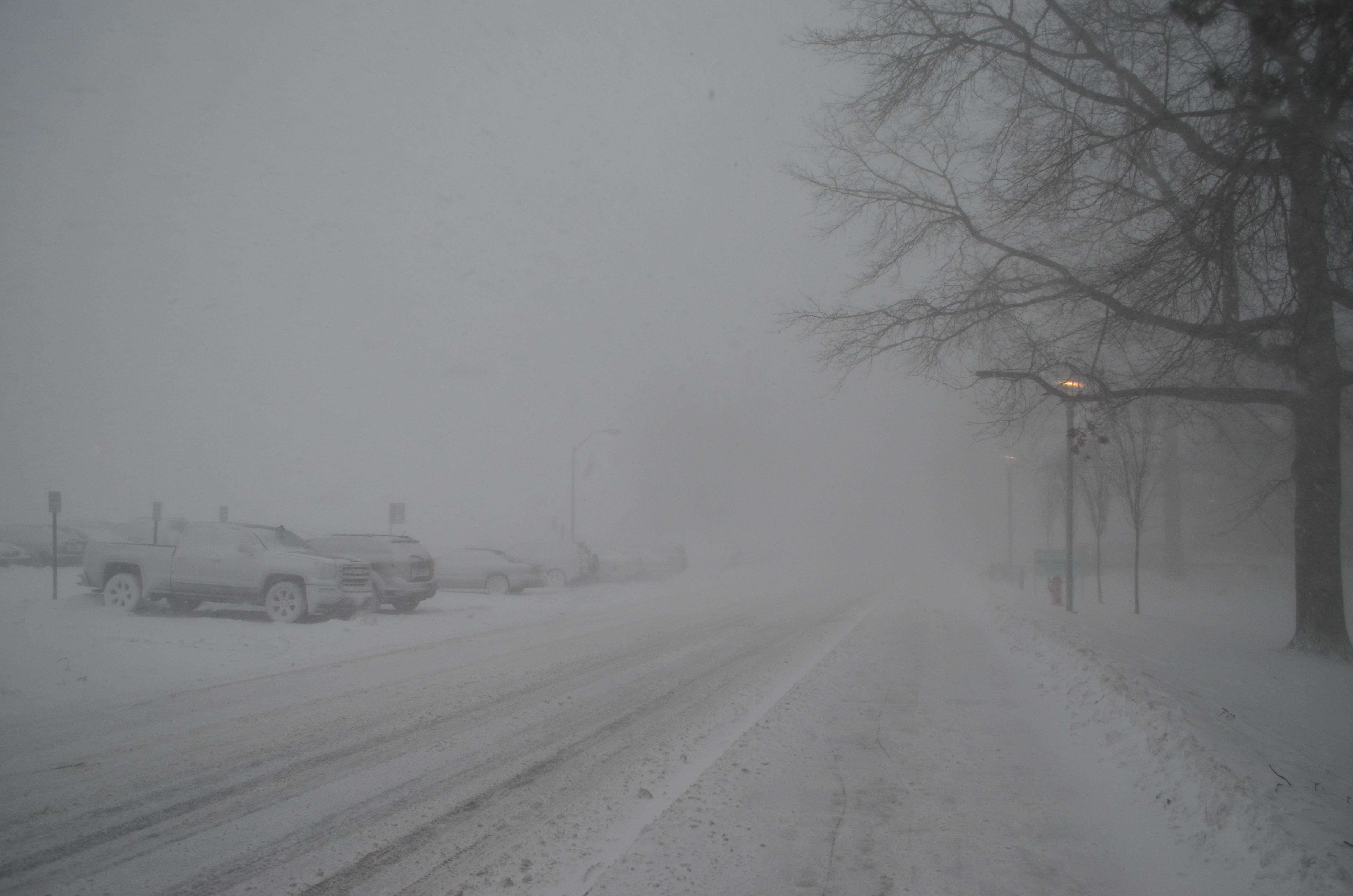
Answer: Snow, wind, and coastal flooding. The Northeast has seen three such storms in the past two weeks! While this many storms in such little time is not unheard of, it can cause a tizzy for those who reside in the area. In Oswego, while the area has not seen as much snow as places further east have, the storms have still had an impact on daily operations.

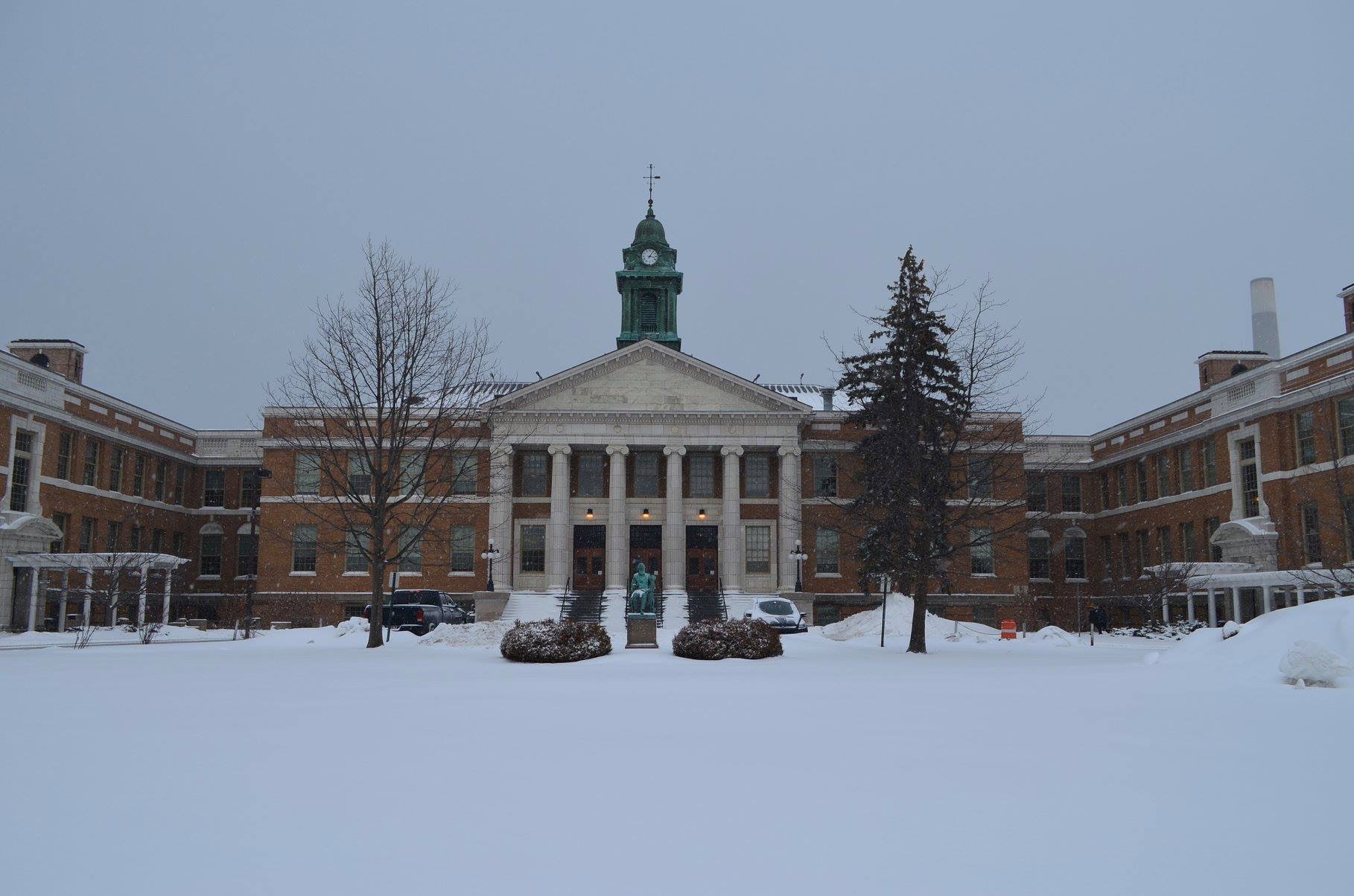
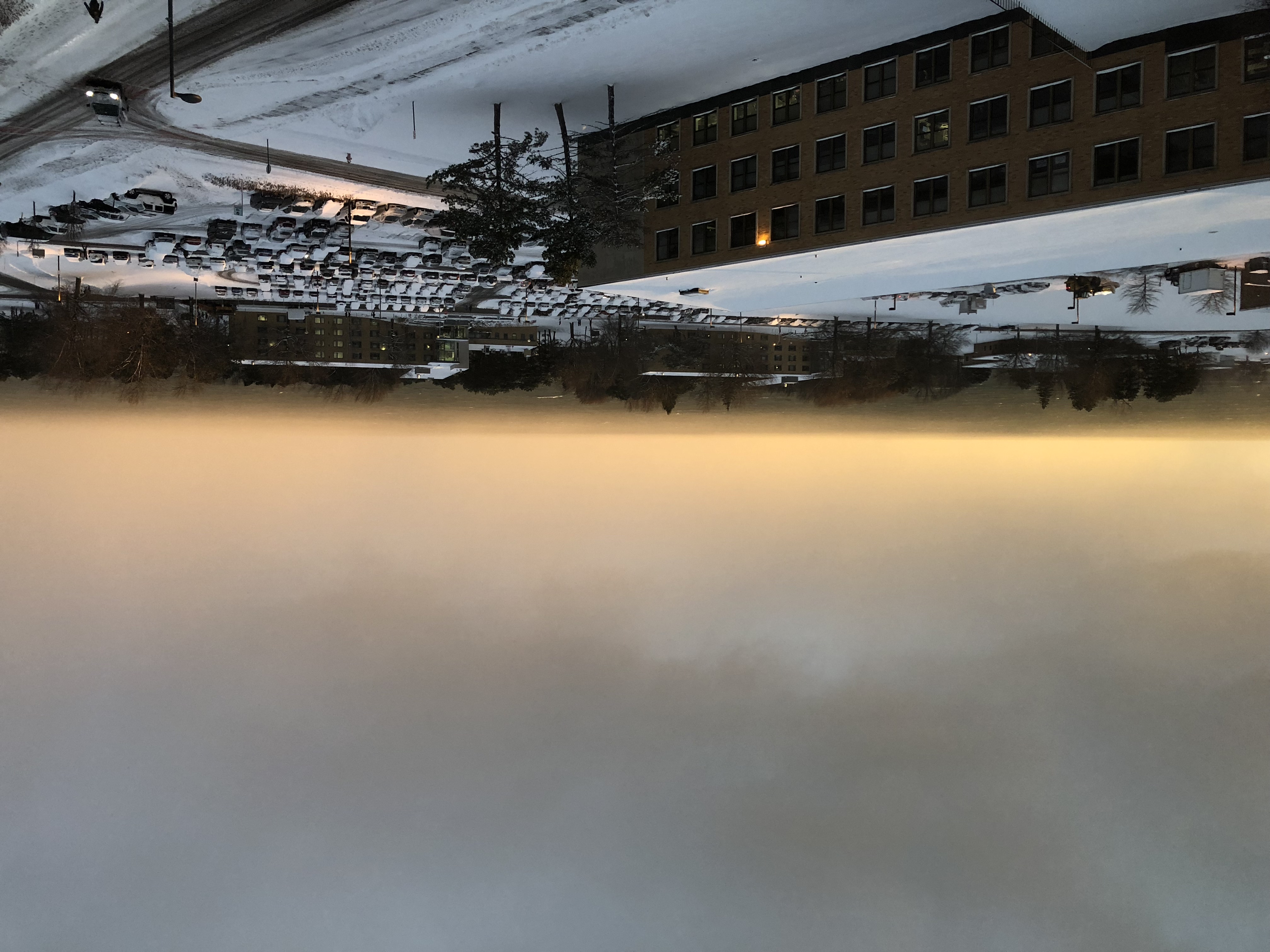
The first storm, which occurred on March 2, dropped around 7″ of snow on campus. Inland, nearby Fulton reported 14″! The storm caused nearly every school and college in central NY to close, however Oswego remained open. We’re die-hards around here, right?

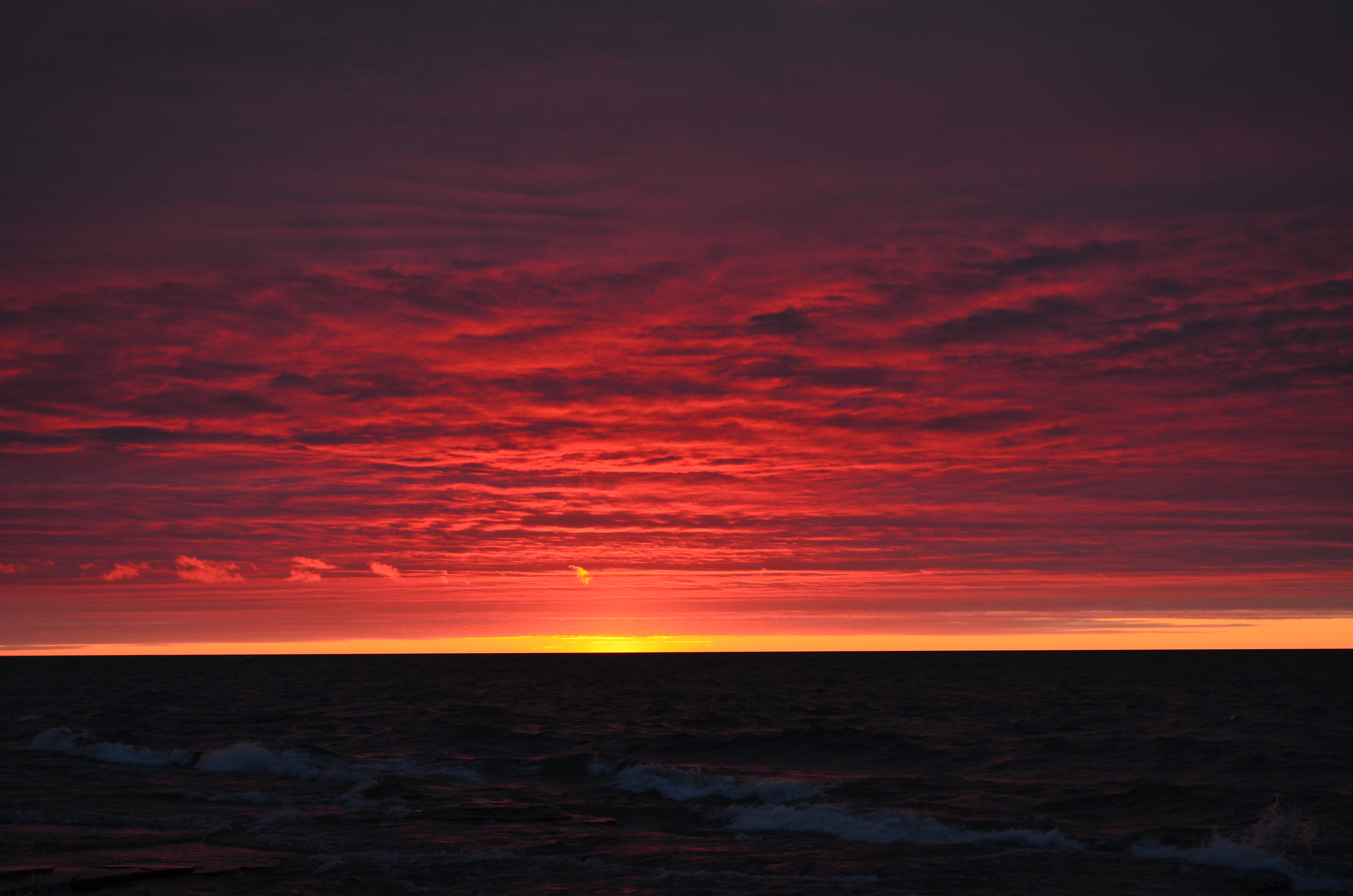
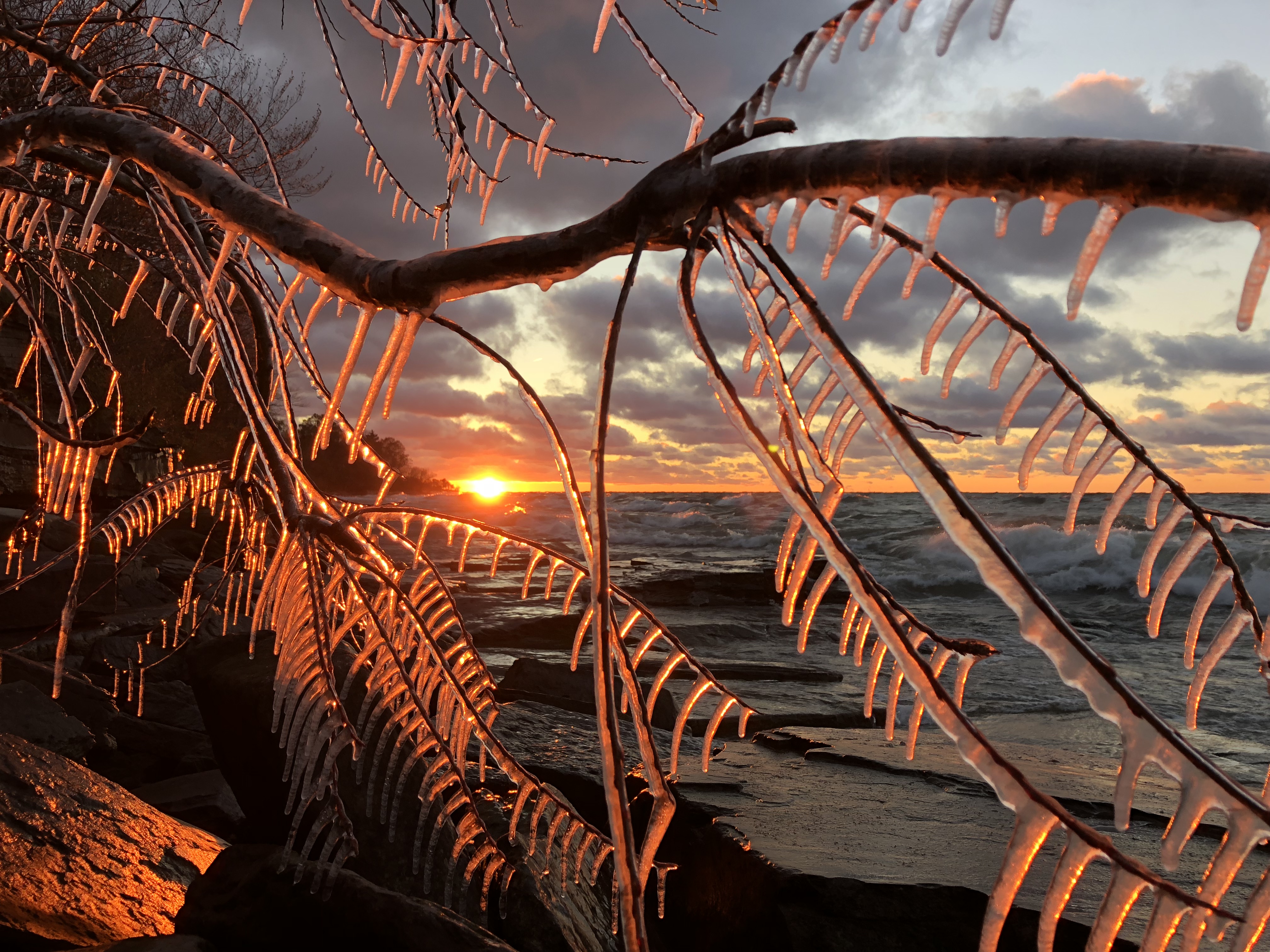
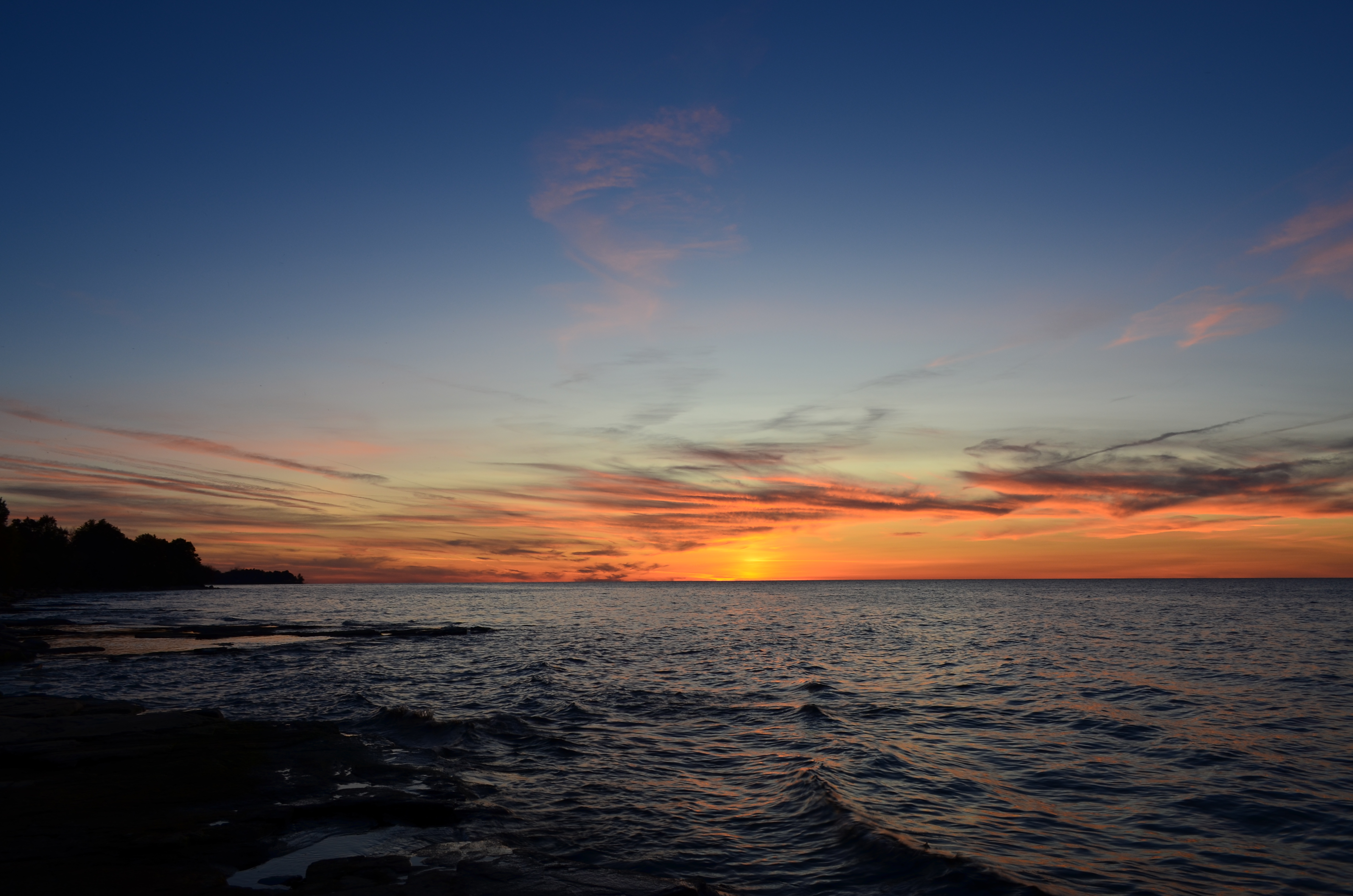
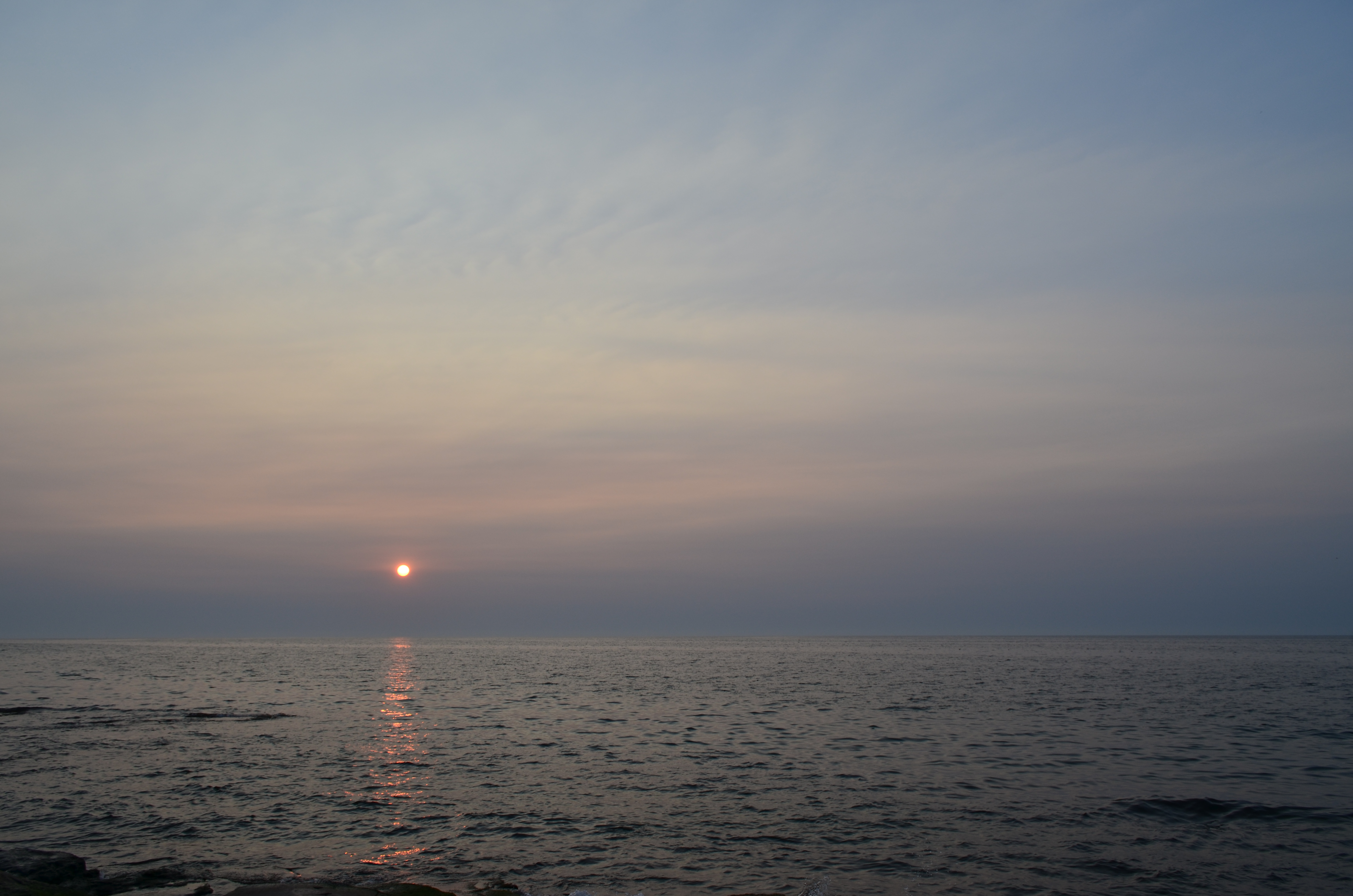
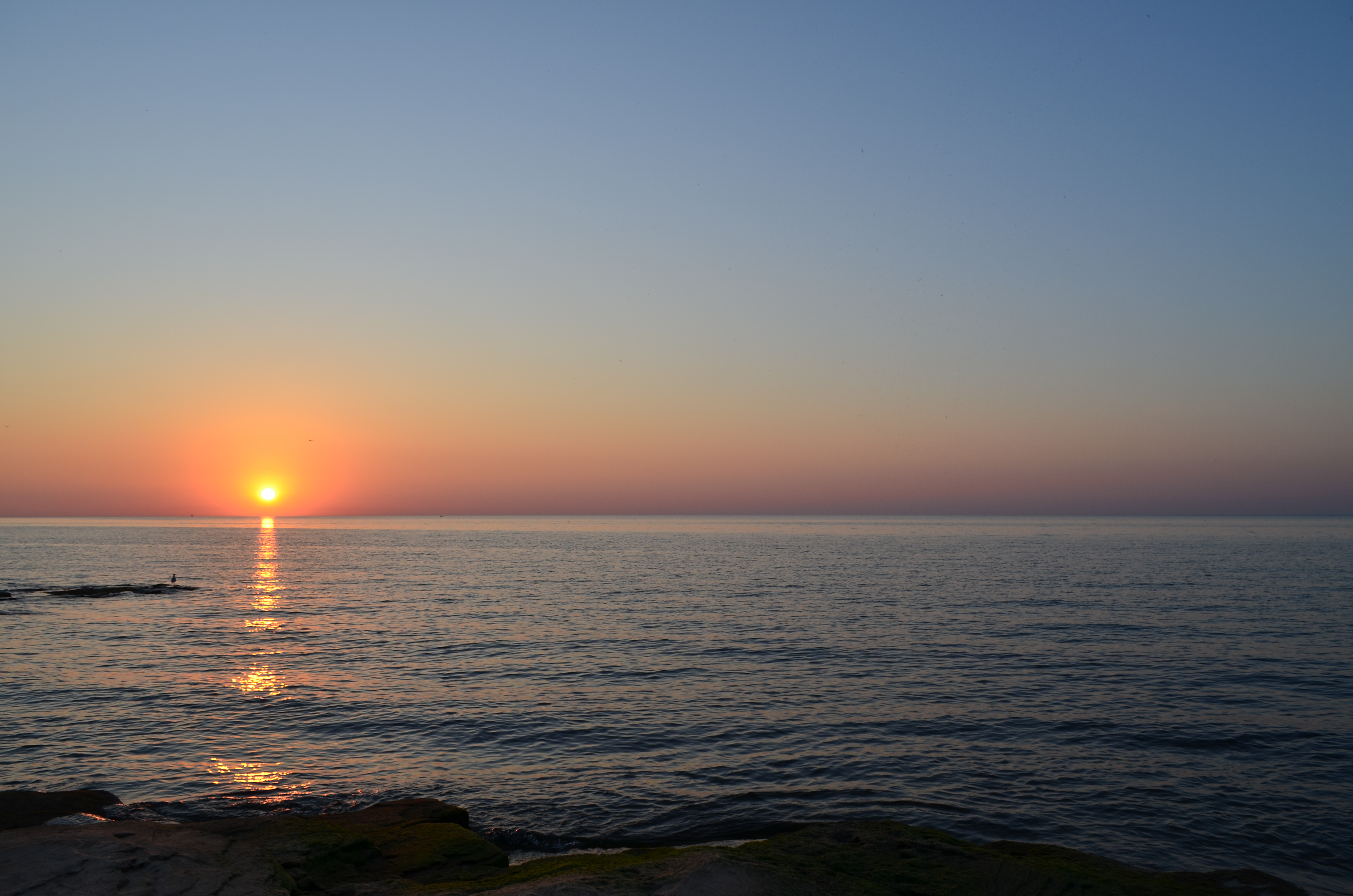
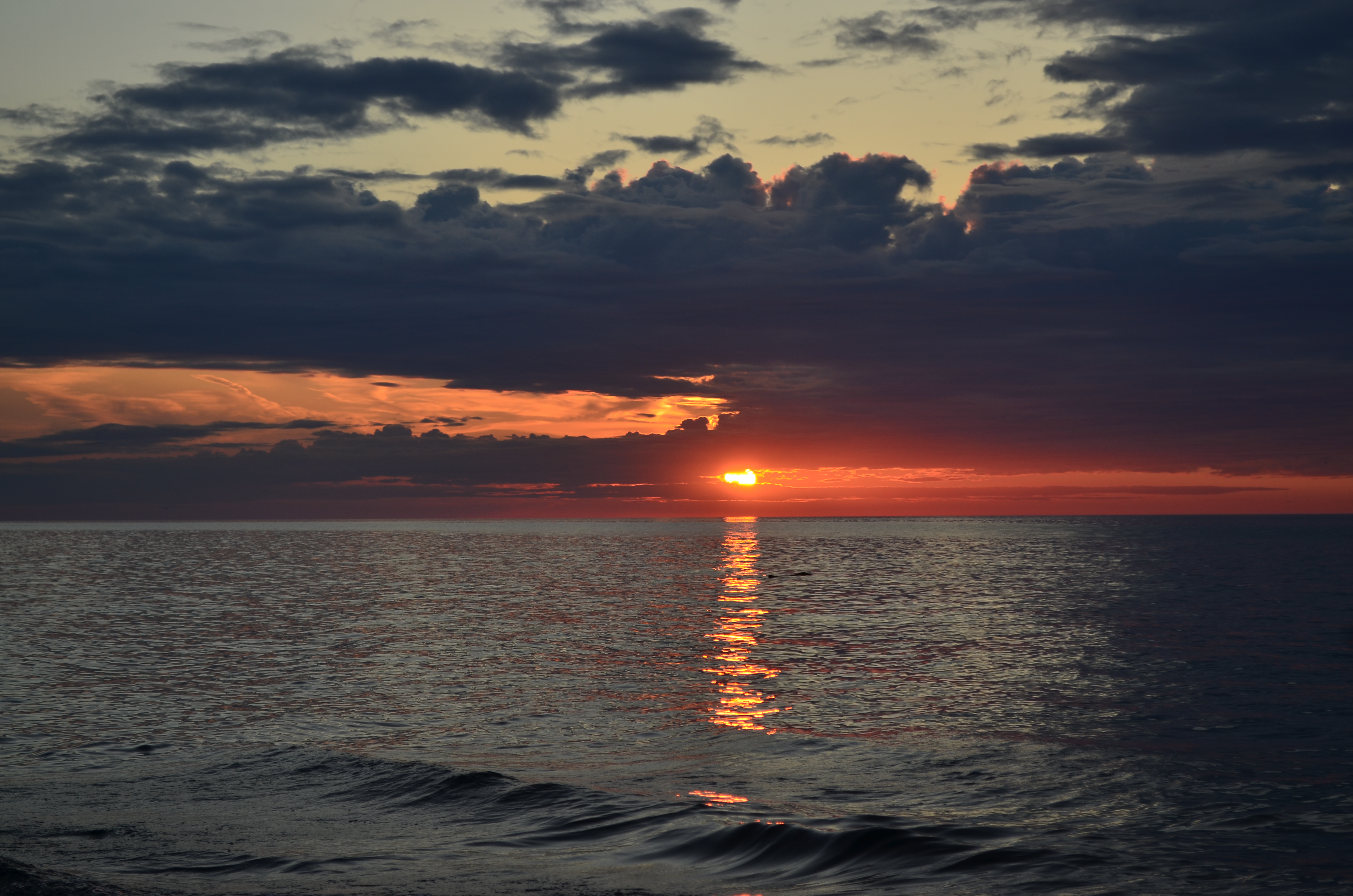
Oswego sunset season is coming around! In between storms, this beauty occurred on March 3.

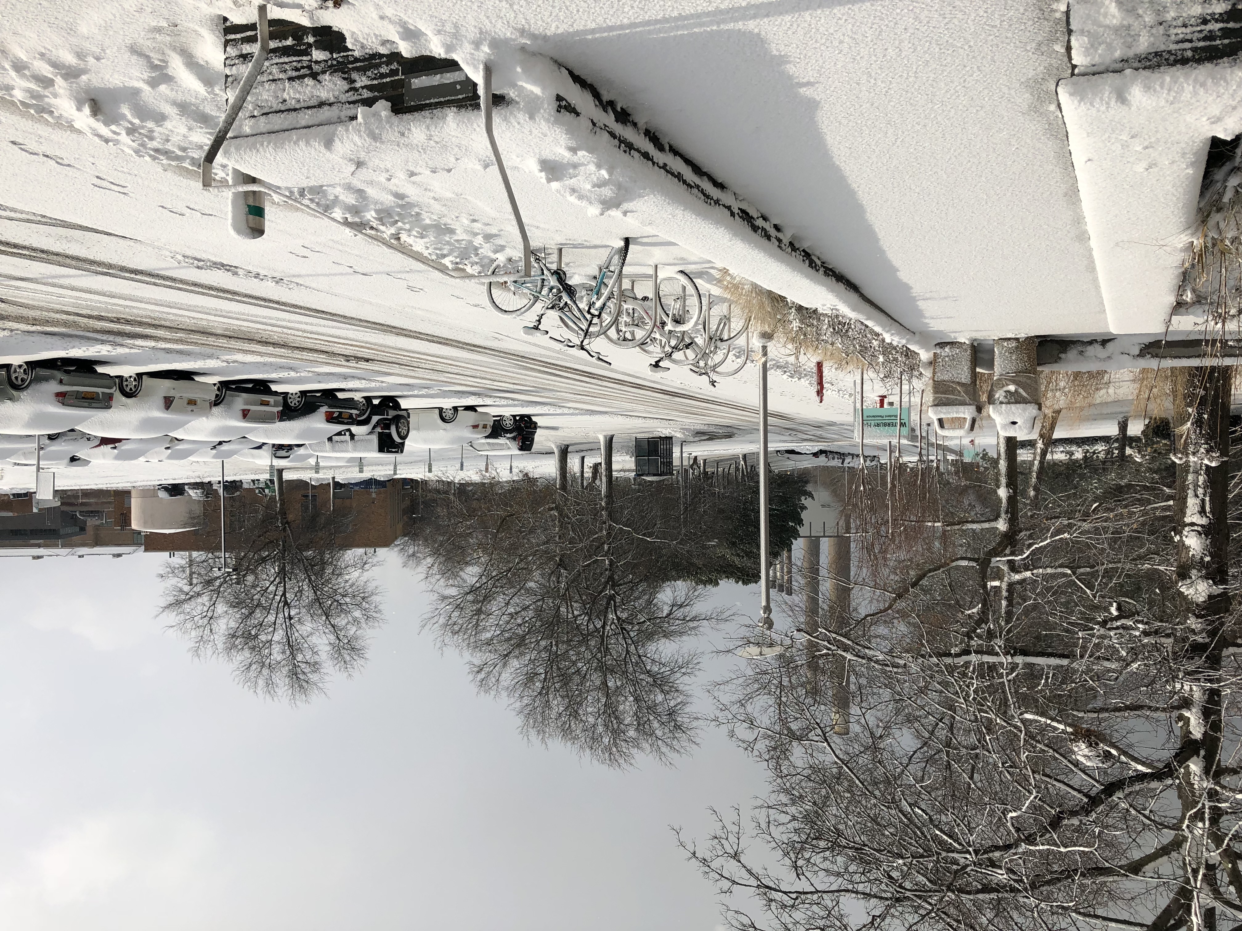
The second storm’s snow, which impacted New England on Wednesday, actually missed Oswego. However, snow fell due to the system’s wrap-around moisture the next two days. Oswego itself saw a couple of windy days and 2-3″ of snow, with higher snowfall inland once again.

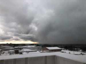
The third storm, ongoing as I type this post, is almost a carbon copy of what happened last week. Greatest New England snowfall happened yesterday, however our area is seeing the wrap-around moisture with several inches likely to fall before all is said and done tomorrow.

That’s three nor’easters, folks! And we may not be done just yet. The same pattern that has been around the past couple of weeks looks to continue through about the end of March. That being said, it is not a guarantee that the Northeast sees another nor’easter. Here’s to hoping for some more spring-like weather in a couple of weeks!

Snow Day!

Winter’s apex has now come and (almost) gone, with average temperatures very slowly, but surely beginning to climb. But just because “peak winter” has passed, doesn’t mean the winter weather is going to stop.

Our most recent noteworthy snow event was just last Wednesday (Feb. 7). And… it caused SUNY Oswego to cancel afternoon and evening classes! I’m sure a lot of students were overcome with joy when they received that text message. Only 4 to 5 inches fell on campus, but it was of the dense and slippery variety.

Additionally, the snow created a plethora of beauty on campus. The “still” kind of beauty, something we don’t see quite as often here in windy Oswego.

A tree next to Glimmerglass Lagoon with a fresh blanket of snow all around. Oddly enough, this is not a black-and-white image!

A calm wintry scene at the lakeshore with pack ice mounds in the foreground. Remember, no climbing on the pack ice – despite the fact that it is a large hunk of water in solid form, it is *not* solid!

There have been a number of other snow events the past few weeks as well, but none that dropped more snow than this Wednesday’s event. Over winter break, however, in the wee hours of the morning December 27, Oswego received a staggering 30” of lake-effect snowfall in a 6 hour period! That’s an average snowfall rate of about 5” per hour. Nearly the fastest snow will ever come down around here. Now, if that would happen while we’re here to see it…..

Sheldon Hall with a fresh blanket of snow after the Feb. 7th event.

Unfortunately for the snow lovers, the next couple of weeks look to turn milder than averag, with few meaningful snow chances in sight. Bring on spring! (The groundhog did not get the memo.)

Winter’s Wonders in Oz

Hello, Oswego!

If you’ve been outside, or at least looked outside your window recently, things have changed colors a little. Snow has finally descended upon the region!

A number of minor to moderate snowfalls have occurred in Oswego the past couple of weeks. While the first official accumulating snow was way back on November 13th, the first snow that actually stuck around just occurred last week. A little over a foot has fallen since, though not more than a few inches at once.

The blanket of white left behind after a lake effect snow band dropped 3″ of the white stuff on campus the morning of Sunday, December 10.

Now, why haven’t we had a large snowstorm yet this season in Oswego? We are in lake effect country, after all!

Much of it has to do with the wind direction. If the wind shifts too quickly, the lake effect snow will pass right over us, only impacting campus for an hour or two, enough to drop a quick 2-3″ but no more. If a lake effect event were to drop a lot of snow, the wind needs to be steadily blowing in the correct direction (west-northwest, ideally) for several hours or more. Thus far this year, that has not occurred.

And, for a reason not well known, that wind direction does not happen very often. Maybe it’s because there are meteorology majors like me here, and it’s scared of us…

A lake effect snow band hangs just offshore as viewed from Shineman Center on Tuesday, December 12.


Neat: The setting sun shone its rays on the same lake effect band pictured above, creating an eerie yellow glow to the falling snow.

There’s plenty more winter to go, though. Storms of the lake-effect and not-lake-effect variety will impact campus periodically, as the weather pattern is shaping up to befavorable for cold, wintry weather the next several weeks.

Happy Holidays and enjoy your winter break!

Oswego Wind… It Blows

Hey Oswego! It’s been a couple of weeks since I last posted. The weather’s been becoming more active and so has the testing season, for me at least. Anyways, let’s get to what’s happened in the past 2 weeks, and what’s to come (hint: frozen stuff…)

The biggest weather story occurred during the morning of October 30, the day before Halloween. A rather intense wind storm blew through Oswego and the surrounding area, with the highest sustained winds clocked in at 55mph, with gusts as high as 71mph reported as well. This was enough to down numerous trees and power lines, and even cause some minor structural damage in town and on campus. Some may have noticed the sidewalk on the west side of Shineman being closed for repairs for much of last week – this was due to a small chunk of siding on the building being blown off!

A side effect of these winds were massive waves on Lake Ontario. Notice how the wave spray is being blown sideways off the crest of the wave in this picture. No swimming today!

Additionally, the first, dare I say it, snow flakes have flown on campus! Thursday night, as colder air moved in behind a strong cold front, rain changed to snow for a brief period of time around midnight. No accumulation was observed here on campus, however the hills to the south and east of here saw a dusting to an inch fall.

An icy sunset Friday evening along the campus lakeshore.

Finally, a relatively rare sight from campus: weak Northern Lights on Tuesday night!

Current longer-range forecasts indicate a renewed chance for lake effect snow next weekend into early next week. This far out, details are hard to pin down regarding timing and strength of the weather systems that affect how and where lake effect sets up, let alone the lake effect snow itself. Keep this in mind while traveling home for Thanksgiving break!


Let me take a Shelfie

Hey Oswego!

October is ending, which means fall is (literally) about to be blown away. Leaves will soon be changing and falling off the trees. For those tracking the fall foliage, we can expect peak color on campus this weekend and into next week, with a secondary peak around next weekend as the later-changing oak trees finally turn.

Rays of sunlight appear below dark blue clouds over a gray Lake Ontario

If you look closely, you’ll notice some wavy clouds in the left-center of this image from Oct. 25th. These are Kelvin-Helmholtz clouds! This is the second time I’ve seen them directly in front of a sunset. (First time here.)

The bigger weather story in the past couple of weeks was the storm that blew through Oswego and the surrounding area on Sunday, the 15th. Campus weather stations recorded wind gusts as high as 53 mph as the storm approached. Additionally, the leading edge of the storm featured a shelf cloud:

A shelf cloud -- large with a white facing and gray underneath -- rolls across Lake Ontario

A shelf cloud is found at the front edge of a line of storms, and is result of air being lifted (often due to a cold front) and then condensing, forming a cloud. Typically, the presence of this cloud indicates that strong winds will occur at the leading edge of the storm, often a minute or two before the rain actually begins. This occurred with this storm, with the strongest winds just before and just after the heavy rain started.

We’re expecting a huge dive into autumn these next several days here in Oswego. A stormy system looks to dump a few inches of rain across the region, and bringing in chilly air behind it. It’s finally happening! Now let’s just hope I’m not talking about snow in my next post…

Out-of-the-ordinary October!

Hello, Oswego! The busy time that is early October, full of tests, papers, and club happenings is winding down. This means it’s time for a quick review of what has happened so far this month.

The first half of the month has felt much more like September than October. Average highs this time of year are in the lower 60s, with lows in the low to mid 40s. Through today (the 15th), we’ve had 10 days exceed 65º, 5 exceed 70º and 1 (the 5th) exceed 80º. Factoring in the relatively warm low temps we’ve experienced, and the average temperature has been over 5º above normal thus far into the month!

The month, so far, has featured its fair share of interesting weather and sunsets, as well.

First off, the remnants of Hurricane Nate, which made landfall near Biloxi, Mississippi on the 8th, impacted the region the following day. 2.87″ of rain fell on Oswego in a 12-hour period! No flooding was noted, as the area had been very dry prior to the rain falling. Nearby Watertown, NY recorded 3.67″ from the event, their wettest October calendar day ever recorded.

Perhaps most striking (ha!), was a thunderstorm the evening of the 5th. A passing cold front combined with warm and humid conditions initiated scattered showers and storms, one of which approached Oswego via Lake Ontario. I managed to capture the shot above using my iPhone’s slo-mo video feature.

With warm, dry high pressure frequenting the Northeast this autumn, clearer skies have meant more great sunsets. This one was captured on the 2nd of the month.

More dry, mild conditions and great sunsets are in the offing this upcoming week as high pressure returns. Have a great week!

But wait, I thought it was Autumn!

It’s the end of September. Leaves are changing, the smell of pumpkin spice is in the air, and temperatures are turning chillier…

That doesn’t seem right. The weather has remained hot the past couple of weeks!

Sunset on Sept. 15. Much of the haze that appears was actually smoke from wildfires in the Western US.

Here in Oswego, we have put together a string of 14 days straight with 70º+ high temperatures, with a few of those eclipsing 80º as well. Nearby Fulton, NY, away from the cooler Lake Ontario, even reached 91º on the 25th. (Normal highs this time of year are in the mid to upper 60s.) This sounds like mid-summer weather to me!

So, why has it been so warm lately? Thank a persistent, strong ridge of high pressure over the eastern US. This high promoted a “bubble” in the jet stream extending well north of the international border, allowing warm air to flood the region. Active weather systems tend to be located near the jet stream, hence the large absence of clouds and rain. Additionally, the ridge was a major factor in steering the remains of hurricanes Irma and Jose away from our region. And, as a result, the region has had a wonderful stretch of warm, dry weather. We could use some rain in the near future, however.

The pattern looks to finally break in a couple of days, with much cooler temps by the weekend. Fall lovers rejoice!

Another picture-perfect sunset, Sept. 23

Autumn is nearing…

Hello, Oswego!

It’s that time of year when many begin to get in the autumn spirit, and the weather follows suit. Here in Oswego, there are numerous indicators of change.

Sunset on Sept. 13, 2017

One of the more apparent ones is earlier sunsets and later sunrises. During the month of September, the sun rises at 6:31am on the 1st, and at 7:03am on the 30th. The sunset moves back from 7:40pm to 6:47pm through the month. The autumnal equinox falls on September 22, where the sun is above the horizon for almost exactly 12 hours. If you’re a regular sunset viewer like me, this change is noticeable almost day by day.

Wavy lake on Sept. 4, 2017

The change in weather conditions is readily apparent as well. Average highs in Oswego drop from the mid-70s to the mid-60s through the course of the month. This year, things have been a bit reversed due to a weather pattern change that left us with early-month 60s, and mid-month 70s. Things will continue to trend downward, however, despite this temporary change. Additionally, some may notice that wind begins to increase. The real “Oswego Wind” events usually don’t hit until late October or November, but nonetheless, if a cold front crosses New York, it’s going to get windy here in Oz.

The Quad in peak fall foliage on Nov. 5, 2016

Finally, leaves begin to change towards the tail end of September. Overall, peak color in Oswego generally occurs in mid-to-late October, with the on-campus oak trees being the last to change, in early November. It’s a beauty every year!

That’s just a taste of what autumn in Oswego is like. Enjoy the next week’s nice weather, as things are bound to change sometime, and before you know it I’ll be writing about lake-effect snow. Until next time!


Sneaky Spouts

Hello, Oswego! You’ve officially made it through the first week of classes.

As many of you know, I frequently visit the lake shore, most often at sunset. However, last week (on August 24) I went down to the rocks at about 7am. This is what I saw, 30 minutes later:

A waterspout!

Waterspouts are common on the Great Lakes, especially from late July to mid October. However, it is pretty uncommon to actually see them from the lake shore, let alone from a specific location such as Oswego. This is due to the fact that most form far enough offshore, that they can’t be seen from the shore. And the ones that do form near the shore often occur at night or in the early morning, when it’s either too dark or most people are still sleeping. Here in Oswego, spouts are visible 2 to 3 times a year, on average.

Waterspouts on the Great Lakes most often occur when relatively cold air passes over a warmer body of water. This generates a lake-effect response. Other features, such as a passing cold front, land breeze [an offshore wind], and convective circulations can enhance the “spin” within the lower levels of the atmosphere. When a circulation becomes strong enough, it generates a funnel cloud, and once that circulation hits the water (similar to when a tornado touches down) it is officially classified as a waterspout. Spouts are usually not a threat to land, however boaters must take necessary precautions if spouts are possible or occurring.

This particular spout actually started off as two funnel clouds (look closely just left of center):

The funnel on the right took over and eventually became the waterspout pictured above.

So, if you head down at the lake on a cool, breezy day, you might just get lucky and see one of nature’s secret phenomena. Have a great week!

Oswego Weather 101

Hello, Oswego!

For those of you who are new, I am Matthew Seymour, a junior meteorology student here at SUNY Oswego. I’ve always been fascinated with weather, and am an avid outdoorsman and photographer. More about me here!

Dare I say, but it’s almost the beginning of the fall 2017 semester. With new student move-in just 2 short weeks away, packing lists are being made and back-to-school shopping is in full swing.

Some of you may have heard of Oswego’s, ahem, weather. Now, while it is a myth that there were once chains put up around campus to help students push through the wind, it sure is a location featuring a lot of weather extremes. In the rest of this post, I’ll give a brief rundown of the “typical” conditions one will experience during an academic year at SUNY Oswego.

Sunset with sailboat, Sept. 3, 2016

In late August, when students return to campus and classes just start, weather conditions are usually tranquil and summer-like. Rain is relatively infrequent, but when it does rain, it’s usually in the form of a thunderstorm. September features ever-shortening daylight, slowly retreating temps, and a shift away from summer storms.

Fall colors near Hewitt Union, Nov. 5, 2016

October encompasses increasing wind and rain, pleasant temps, and the always-magnificent fall foliage show. Mid-November is the average period to watch for the first snowfall. (It has occurred on Nov. 20 and Nov. 23 the past two years.) Late November is when the real winter sets in, with mostly frozen precipitation, nearly-constant wind of some fashion, and cold temperatures.

Street outside Waterbury Hall during a snow squall, Dec. 15, 2016

December, January and early February take the lion’s share of lake-effect snow in Oswego. A normal winter sees about 140″ fall on the city. Wind remains frequent, and when combined with wintertime cold, wind chills are often below zero.

Spring buds on a tree branch, April 23, 2017

March, April and May feature the most frustrating weather. While temperatures do increase, late-season snow remains possible, and the “lake breeze” phenomenon works to hold down afternoon temps, particularly in April and May. Summer does win out, eventually, no matter what. Thanks, Sun!

For those who like numbers, here you go:

  • Aug/Early Sep: Highs 75-85. Lows 60-65. A few days with rain or storms.
  • Mid-Late Sep: Highs 65-75. Lows 50-55. A few days with rain or storms.
  • Oct: Highs 50-65. Lows 40-50. Some days with rain.
  • Nov: Highs 35-50. Lows 30-40. Frequent rain and some snow.
  • Dec: Highs 30-40. Lows 20-30. Frequent snow, some rain.
  • Jan: Highs 20-30. Lows 10-20. Frequent snow.
  • Feb: Highs 15-30. Lows 5-15. Some snow events.
  • Mar: Highs 30-55. Lows 20-35. Some snow and rain events.
  • Apr: Highs 50-65. Lows 35-45. Some rain, maybe an odd late season snow.
  • May: Highs 60-70. Lows 40-50. A few days with rain or storms.

So, there are many ways that one could prepare for such exciting weather. Hoodies and lighter jackets are perfect for that in-between fall and spring weather, however a rain jacket is a must (umbrellas will be destroyed by wind!), as well as a good set of winter coat, hat, gloves, scarf, and boots for when winter comes. Always bring warmer clothes and winter gear to college earlier than you think you’d need them, and always leave a couple summer outfits around for that odd warm fall or spring day.

See y’all in a couple of weeks. In the meantime, soak up those last rays of summer break!