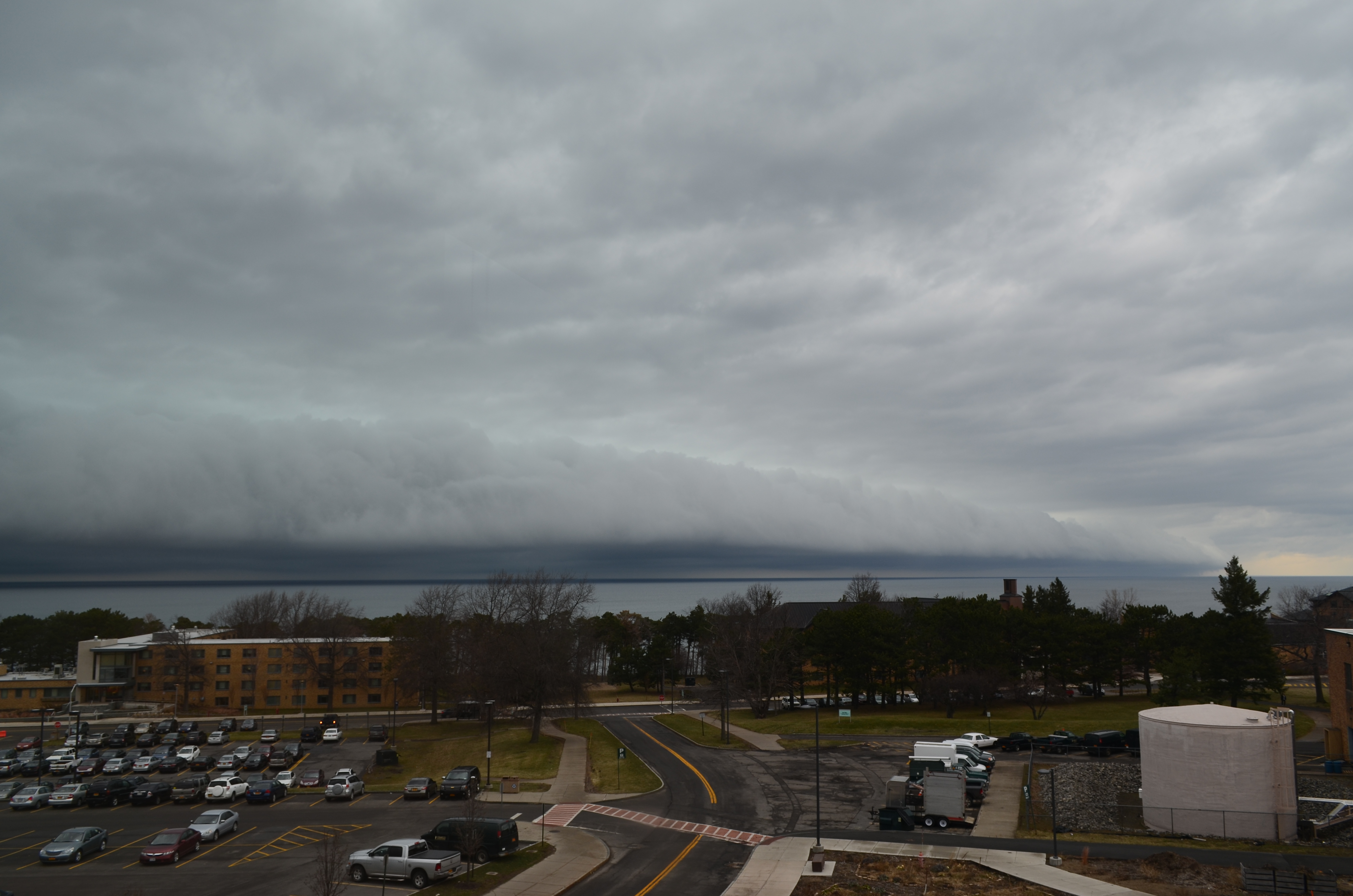
The end of the semester is near! For us college students, that means hitting the books, gearing up for finals, lots of studying, and eventually getting our stuff together and heading back home. Meanwhile, for the weather, this time of year represents change. Colder temps give way to warm and pleasant weather, daylight length increases, and snow is all but history. (Usually.) It can be torture if you are stuck inside studying on a glorious 70º day…
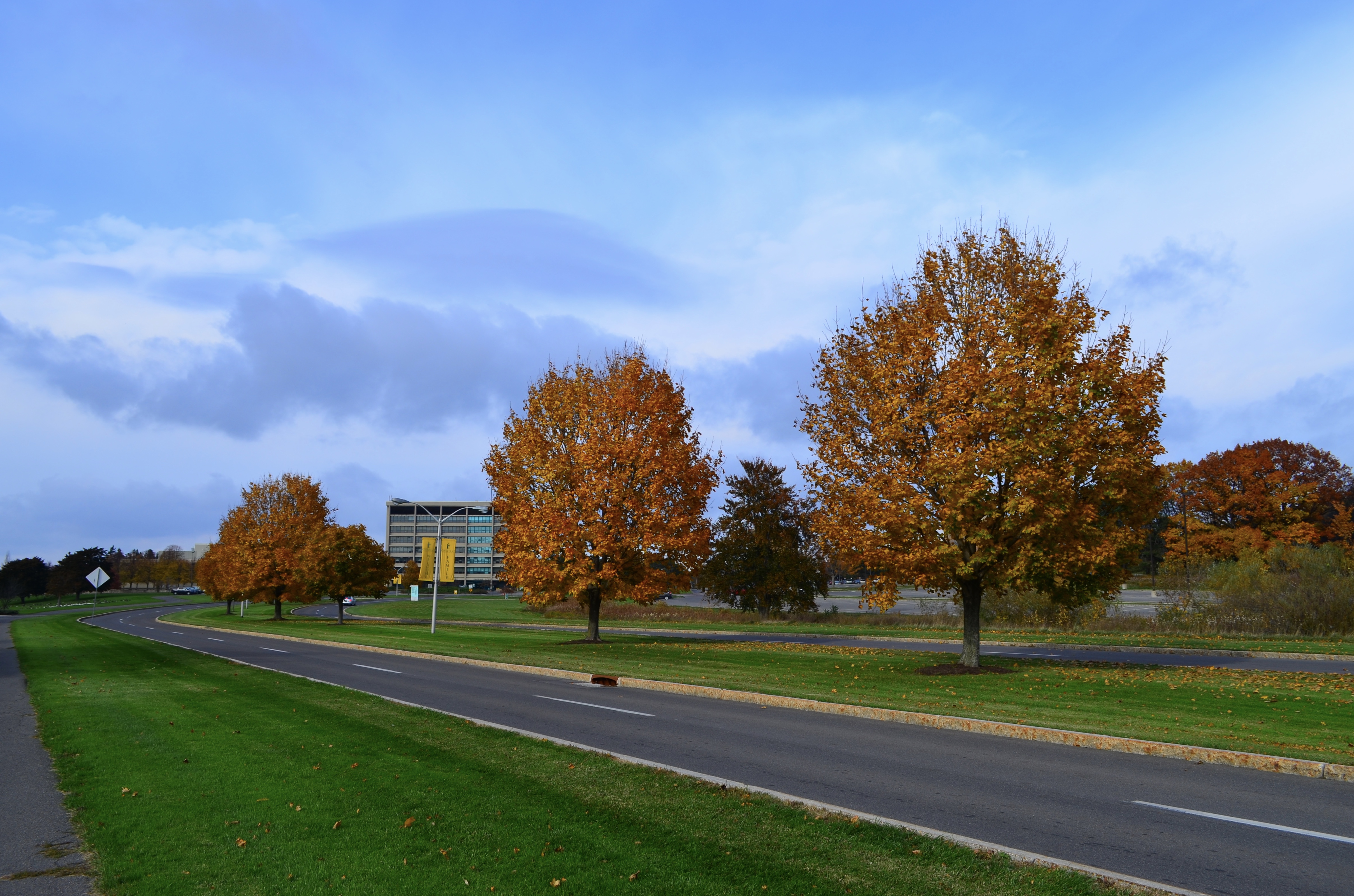
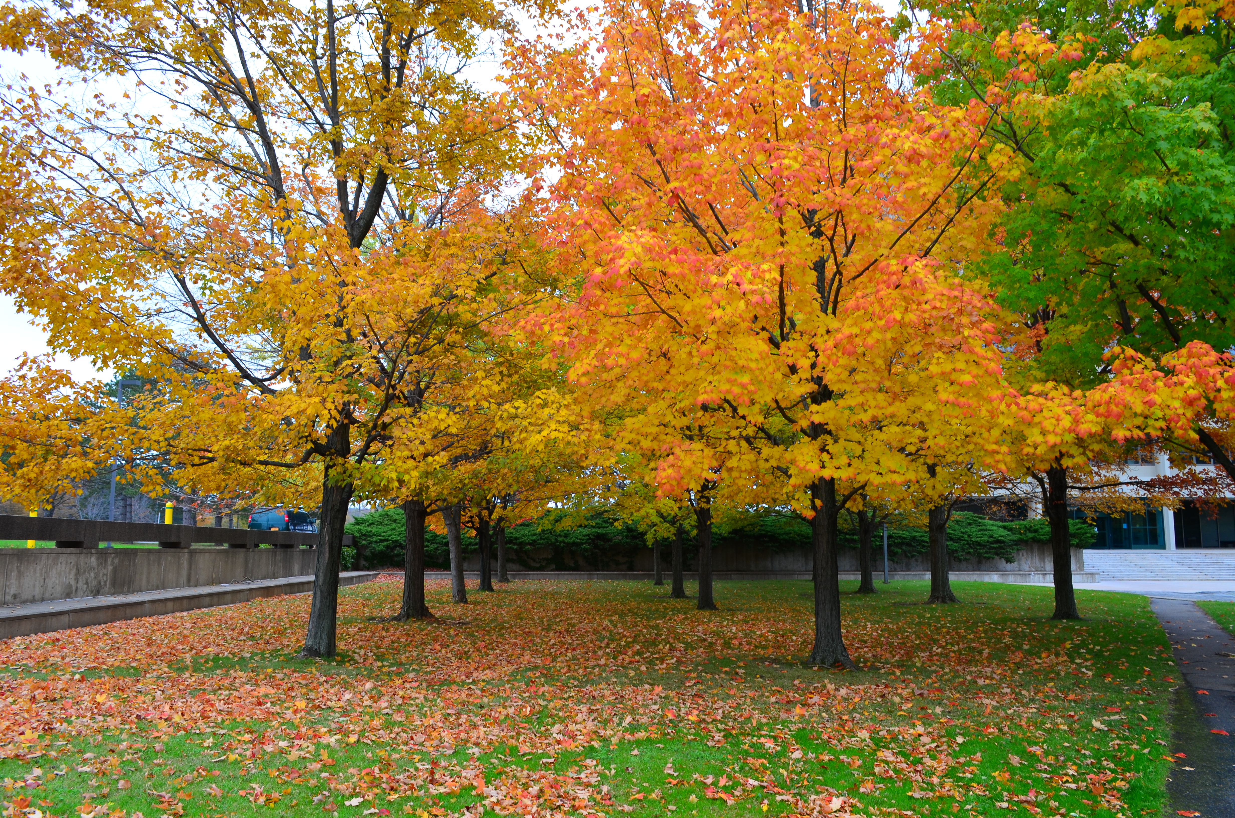
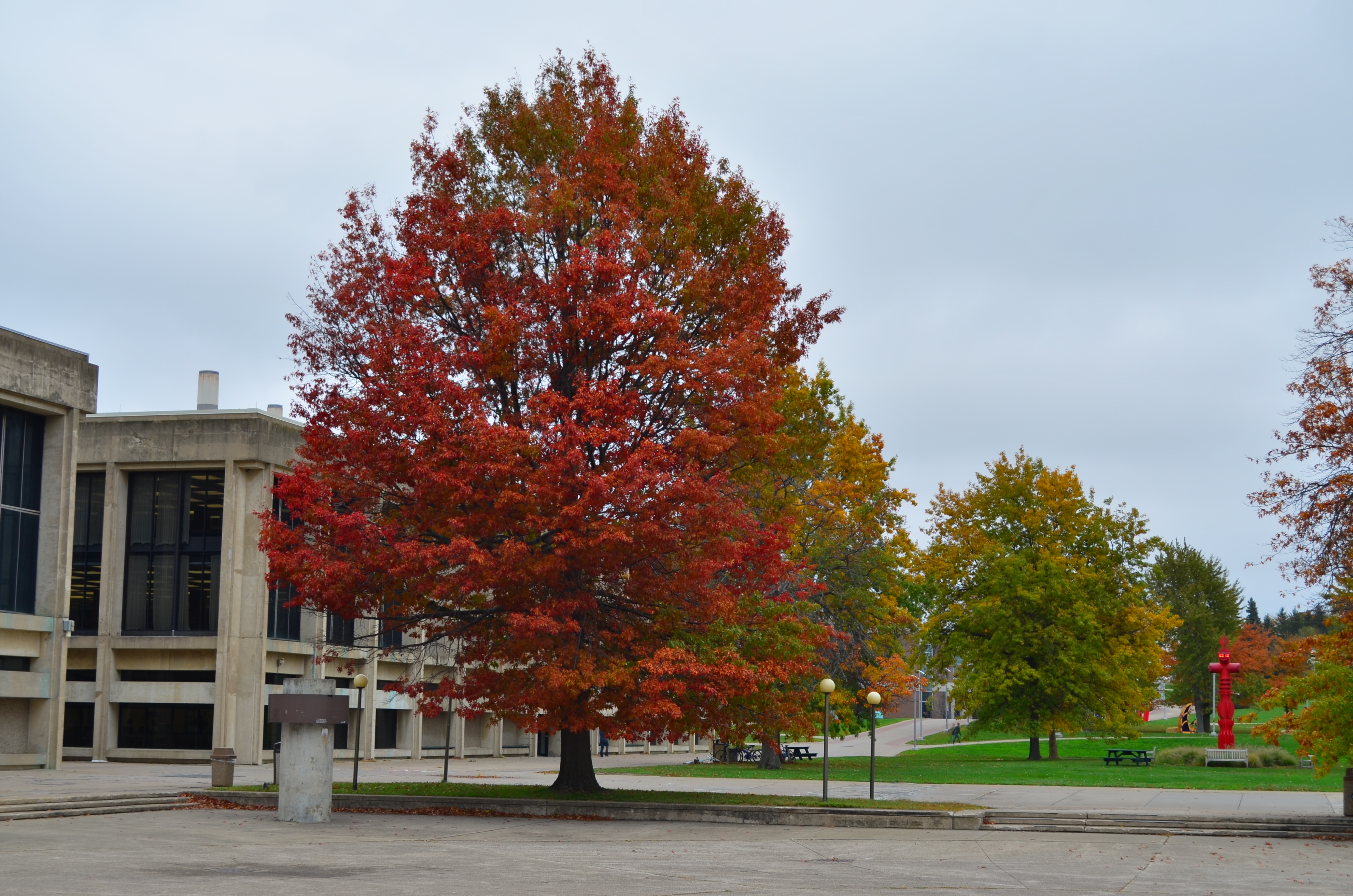
The last week and a half has presented spring in earnest here in Oswego. It has reached 70º on campus on four different days, with two of those going above 80. Daffodils have bloomed, and shrubbery is just starting to grow leaves. Spring rain showers have been plentiful, as well.
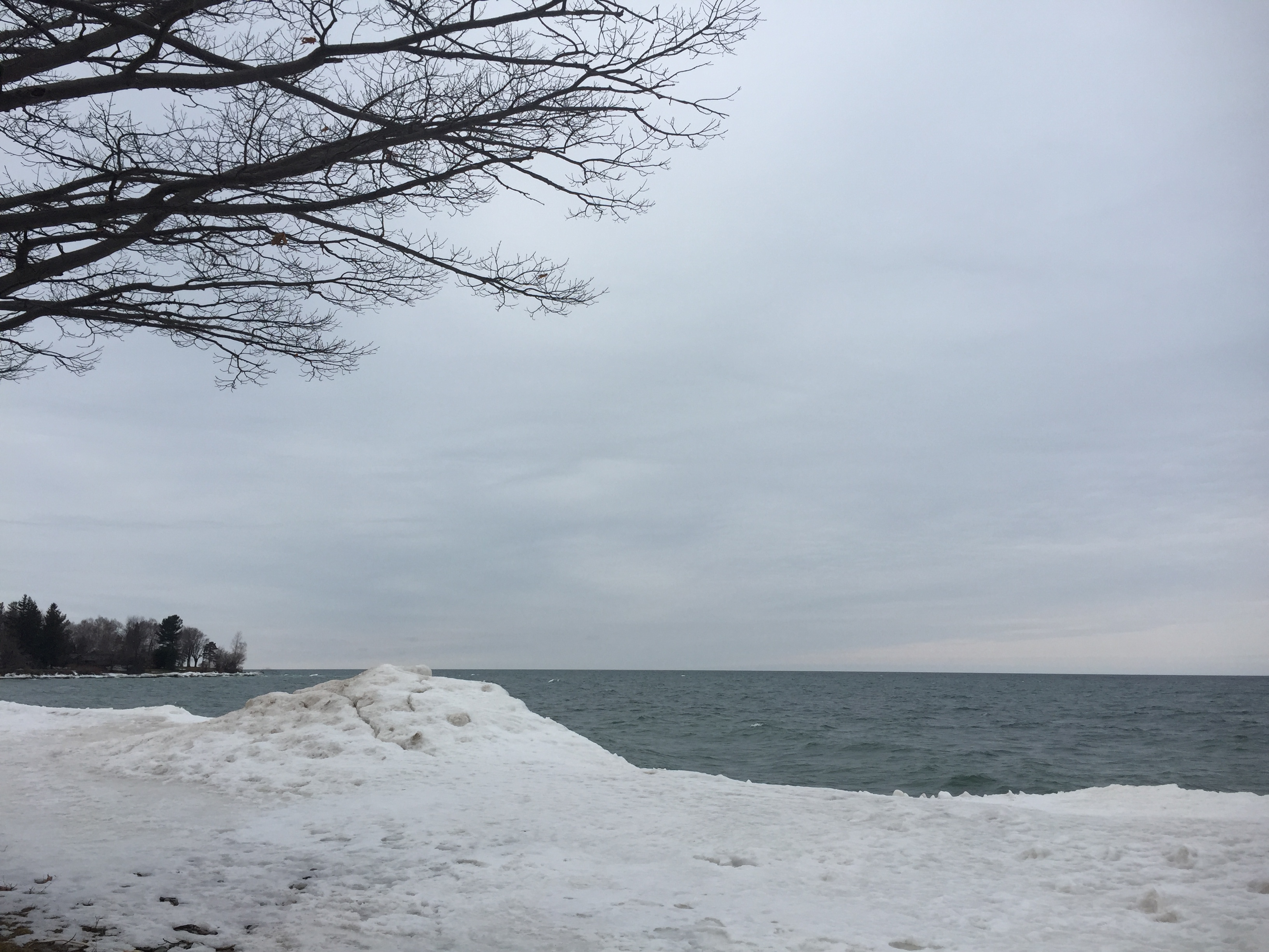
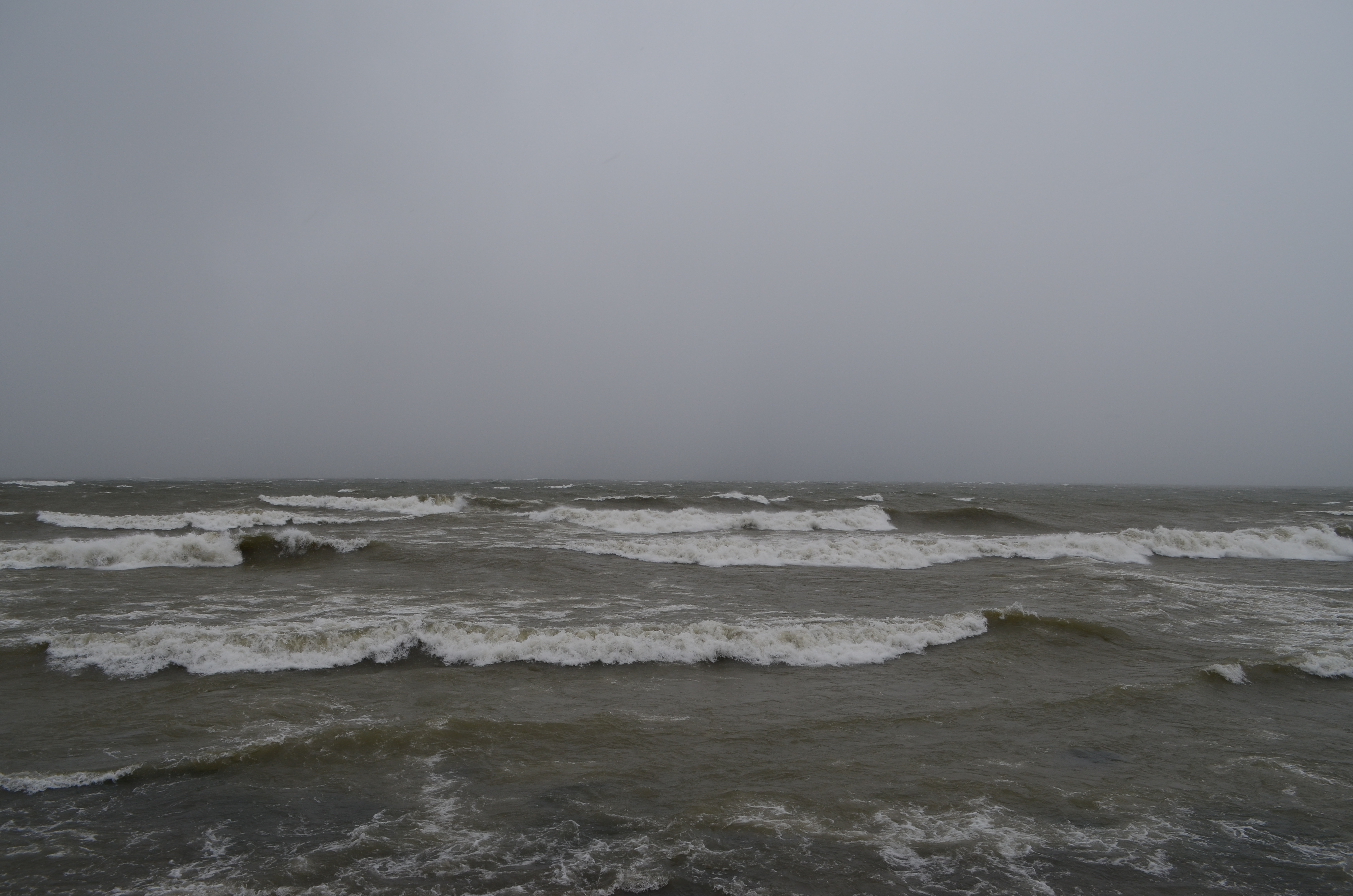
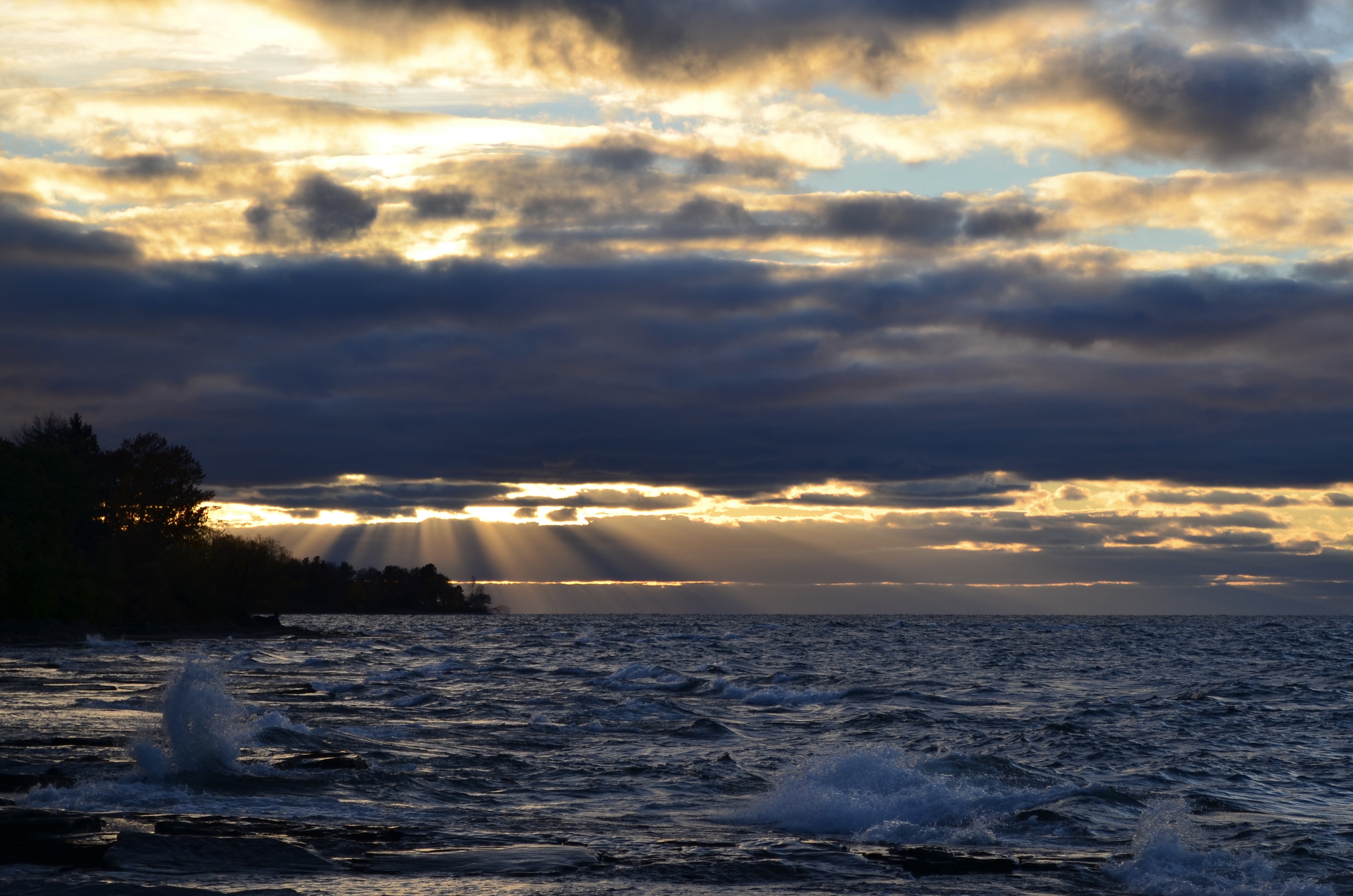
As a matter of fact, the Great Lakes region as a whole has had enough rain this spring to cause Lake Ontario to rise a full 10″ in the past two weeks. It is noticeable from the lakeshore on campus, as some of the areas that were previously above water are now underwater, or are at least vulnerable to being splashed on by waves. Watch where you sit while you watch the sunset!
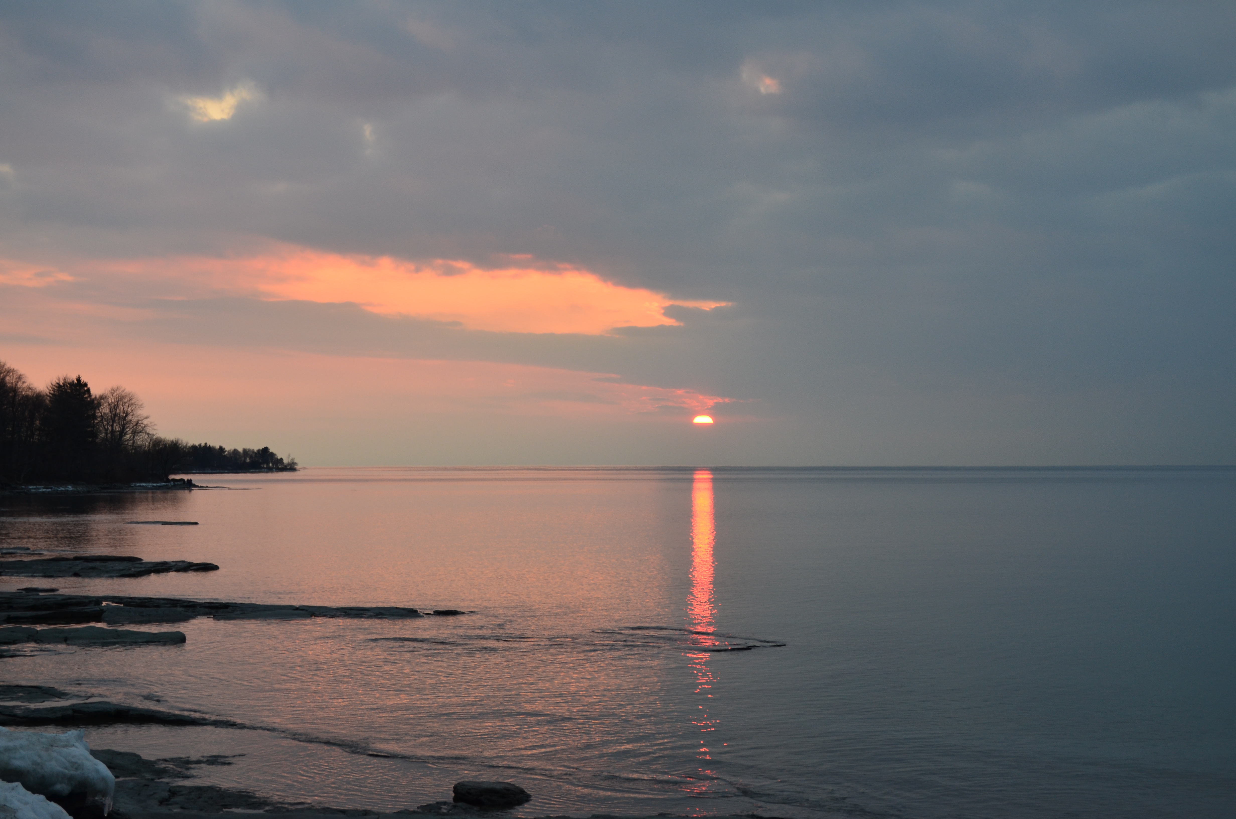
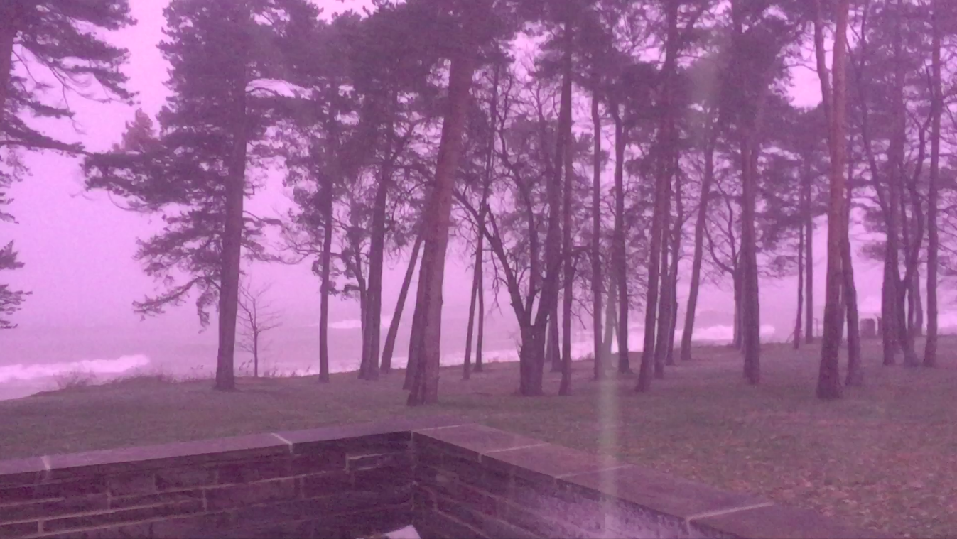
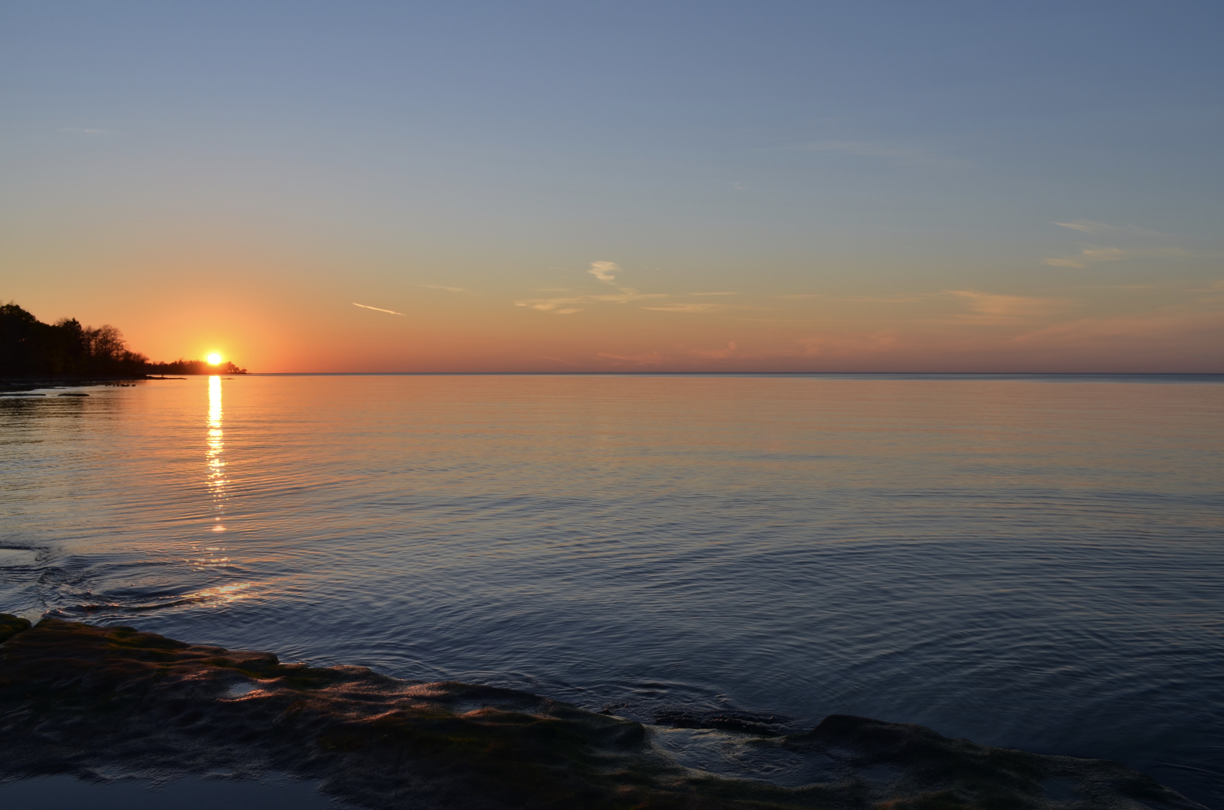
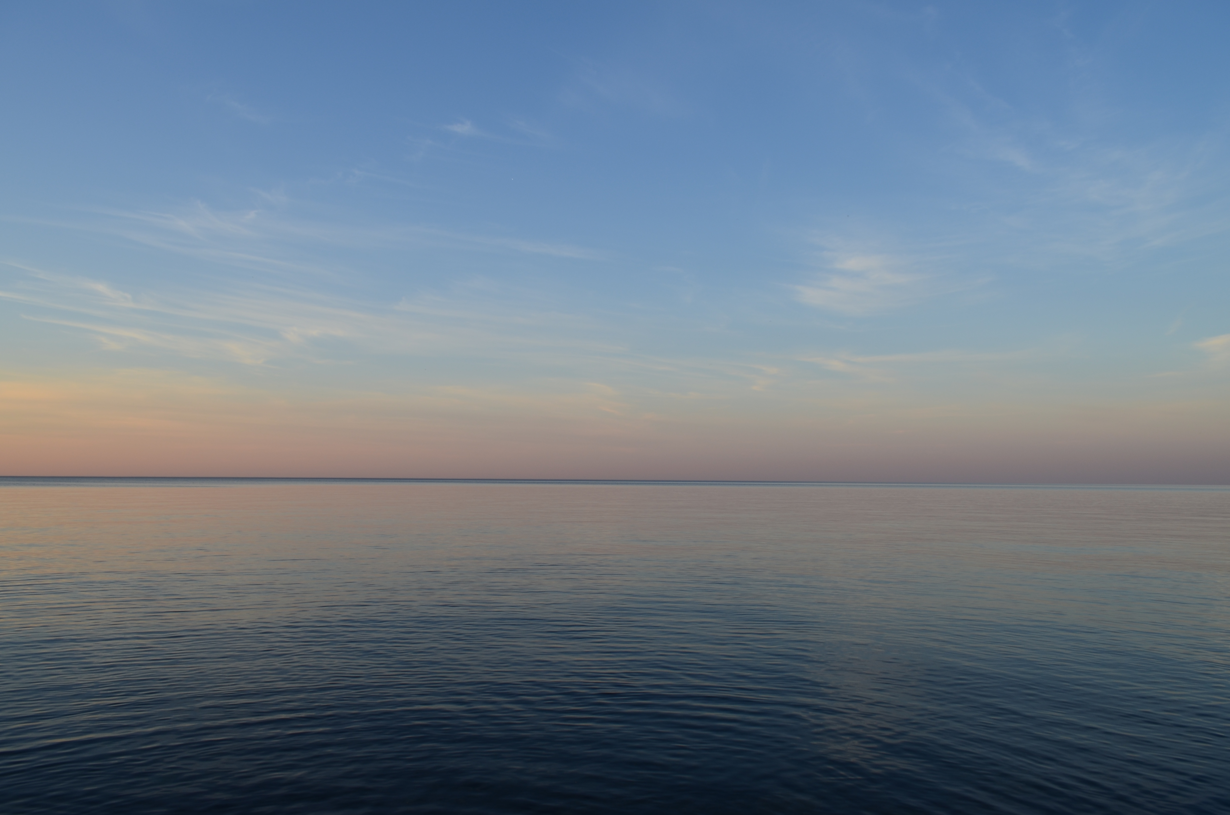
A side effect has been more dramatic crashing waves at the shoreline. I have been taking photos of these waves around sunset, creating a series of “Liquid Sunshine” shots. Take a look:
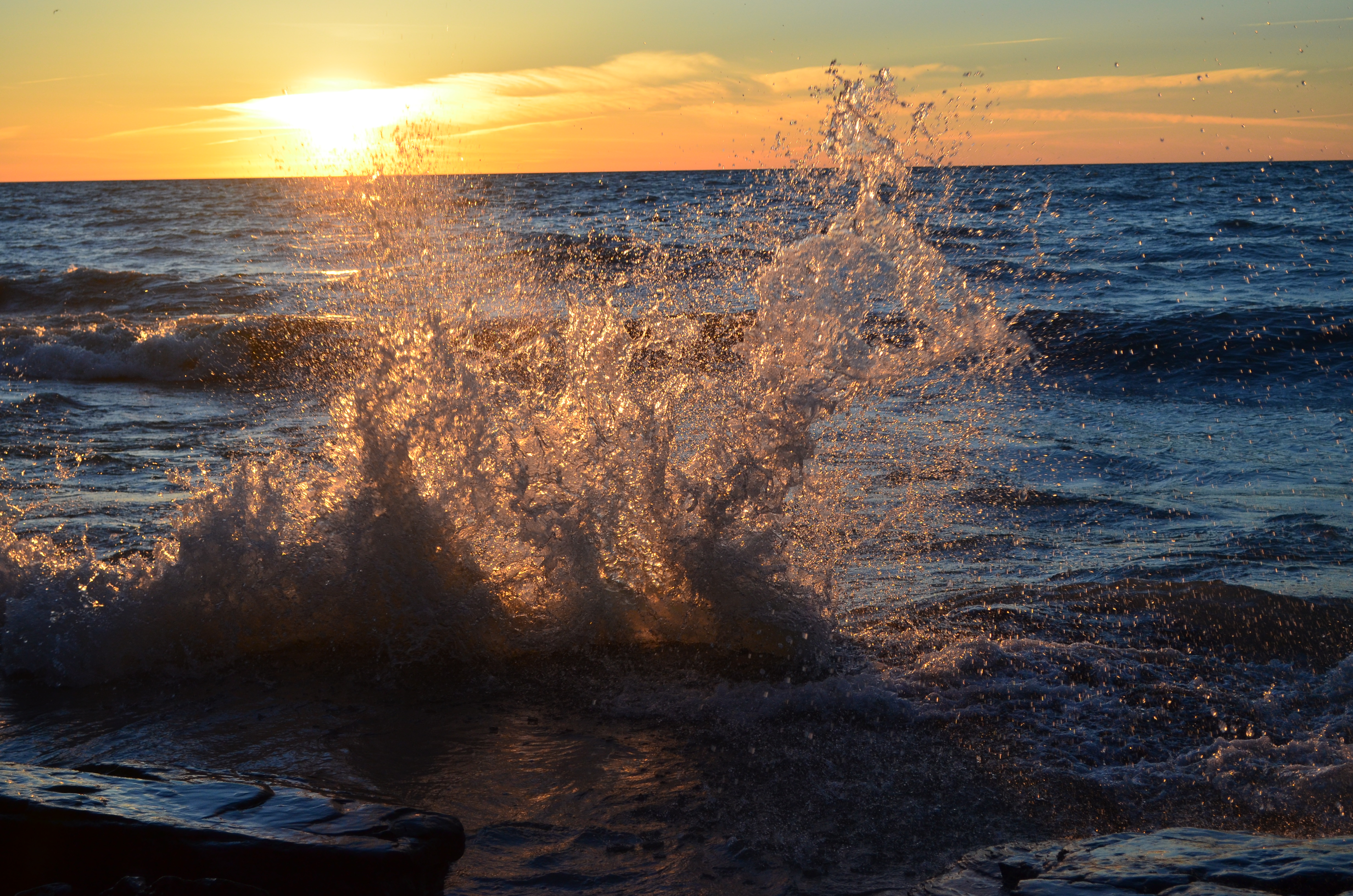
April 8, 2017
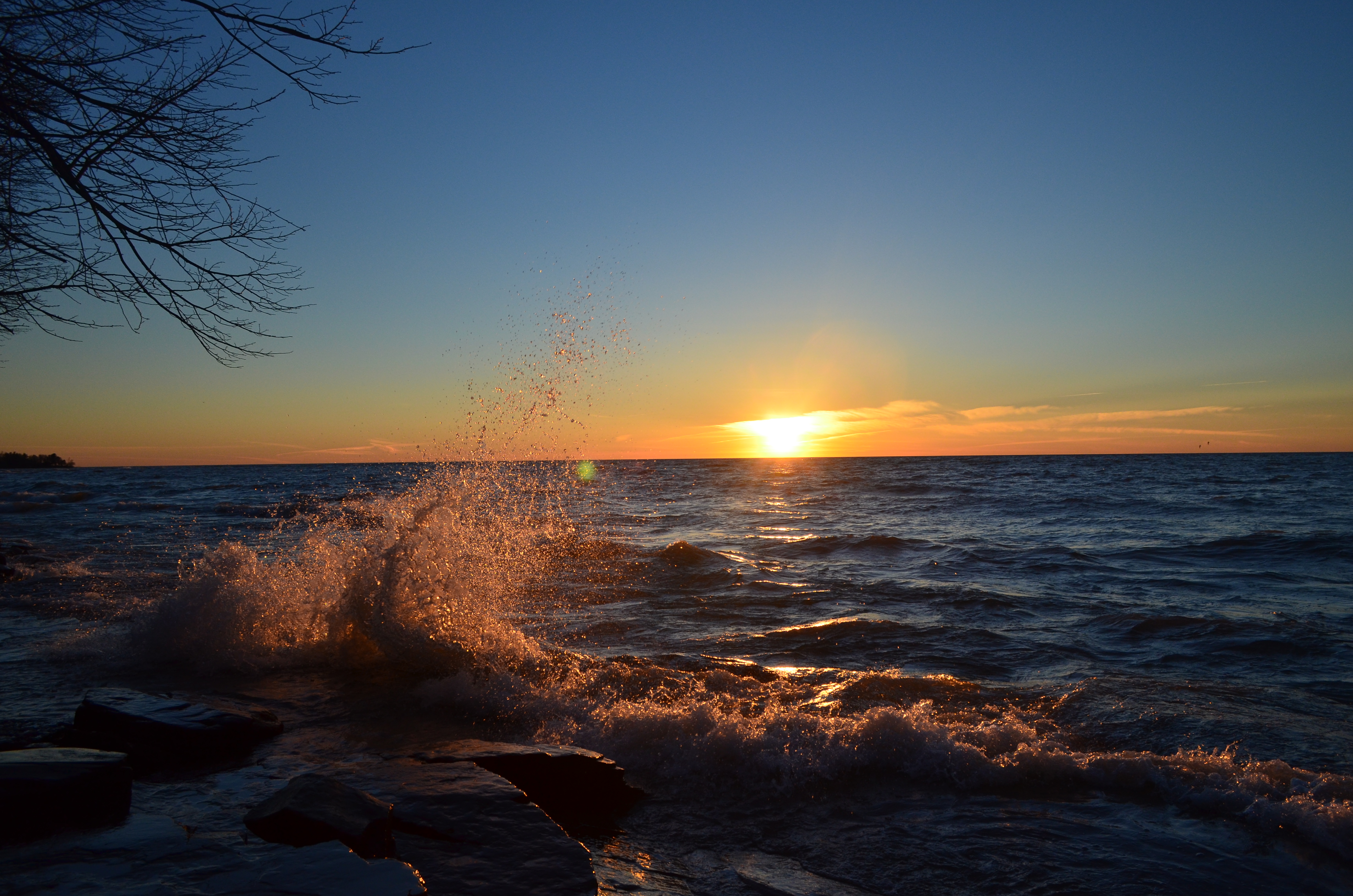
April 8, 2017
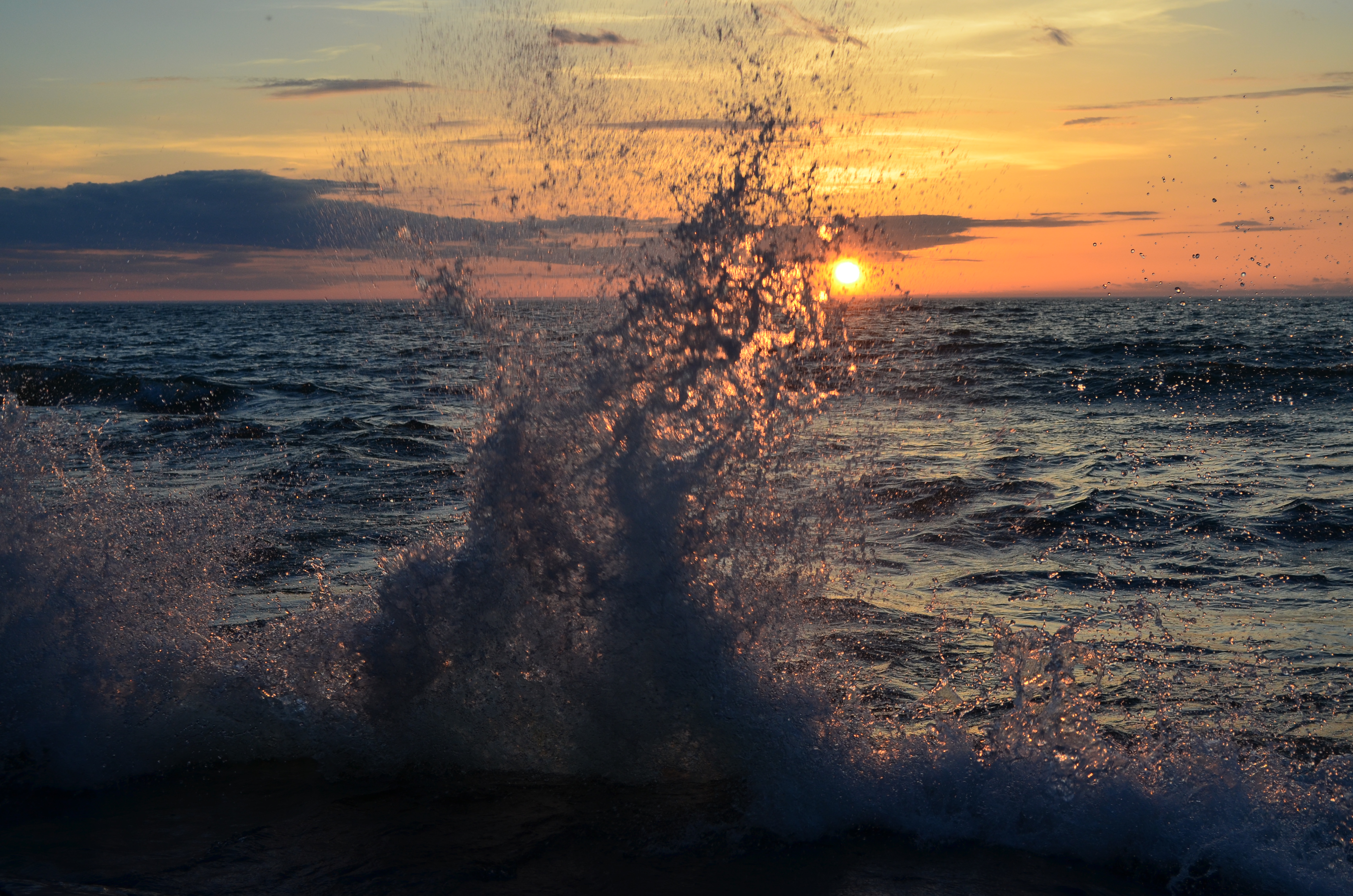
April 16, 2017
All of these pictures were taken behind Waterbury Hall.
The upcoming weather pattern looks cooler this week, yet still spring-like, with high temps largely in the 50s and 60s. Probably a few windy and wavy days, as well. See ya around, Oswegonians!