
Hello, Oswego! Spring is finally beginning to make its appearance on campus, with grass turning green, daffodils budding, and milder temperatures making their appearance.
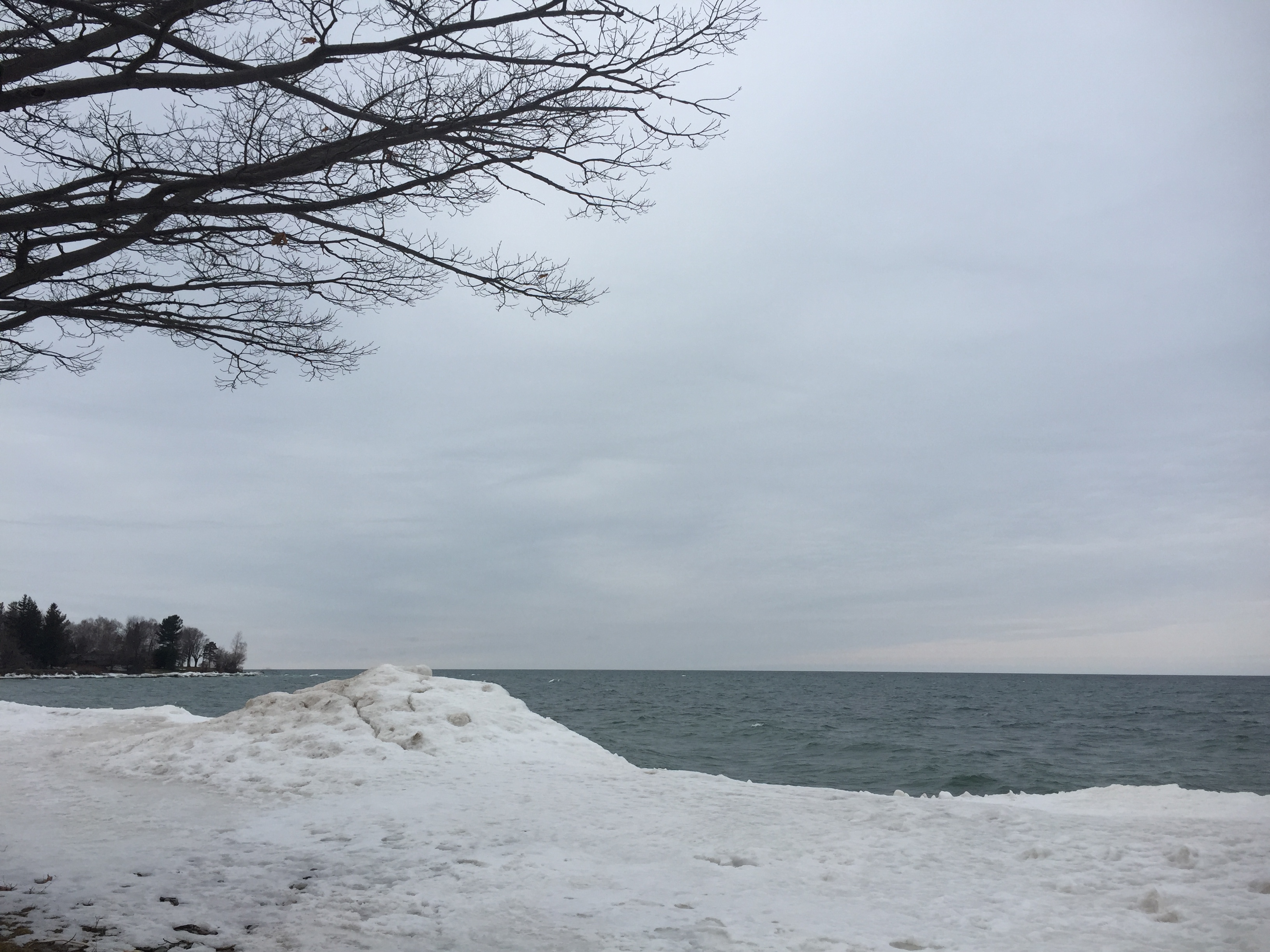
Ice pile on the shore of Lake Ontario at Rudy’s Drive-in, March 25, 2017. These are long gone after last week’s warmth!
While the weather itself has been fairly inactive the past couple of weeks, that does not make for a shortage of interesting sky formations. Last Saturday night, a type of cloud that even I had never seen before made its appearance in the sunset-colored sky.
That cloud happened to be the Kelvin-Helmholtz wave cloud. It looks like a series of “ocean waves” in the sky, and is an indicator of horizontal wind shear. That is when the wind changes direction with increasing altitude. For example, the wind may be out of the west 5,000 feet above the ground, but out of the northwest at 8,000 feet. This shear produces a “rolling” motion in the air, swirling the cloud cover into that wavy pattern that we see from the ground.

Kelvin-Helmholtz wave clouds at sunset, April 1, 2017.
This upcoming week looks to bring even warmer (and drier!) weather to the region. Here in Oswego, we may have to deal with the dreaded lake breeze, which could limit the magnitude of the warmth locally. More on that in my next post. Until next time!
Pingback: Let me take a Shelfie | SUNY Oswego Student Blogs