
Winter’s apex has now come and (almost) gone, with average temperatures very slowly, but surely beginning to climb. But just because “peak winter” has passed, doesn’t mean the winter weather is going to stop.
Our most recent noteworthy snow event was just last Wednesday (Feb. 7). And… it caused SUNY Oswego to cancel afternoon and evening classes! I’m sure a lot of students were overcome with joy when they received that text message. Only 4 to 5 inches fell on campus, but it was of the dense and slippery variety.
Additionally, the snow created a plethora of beauty on campus. The “still” kind of beauty, something we don’t see quite as often here in windy Oswego.

A tree next to Glimmerglass Lagoon with a fresh blanket of snow all around. Oddly enough, this is not a black-and-white image!
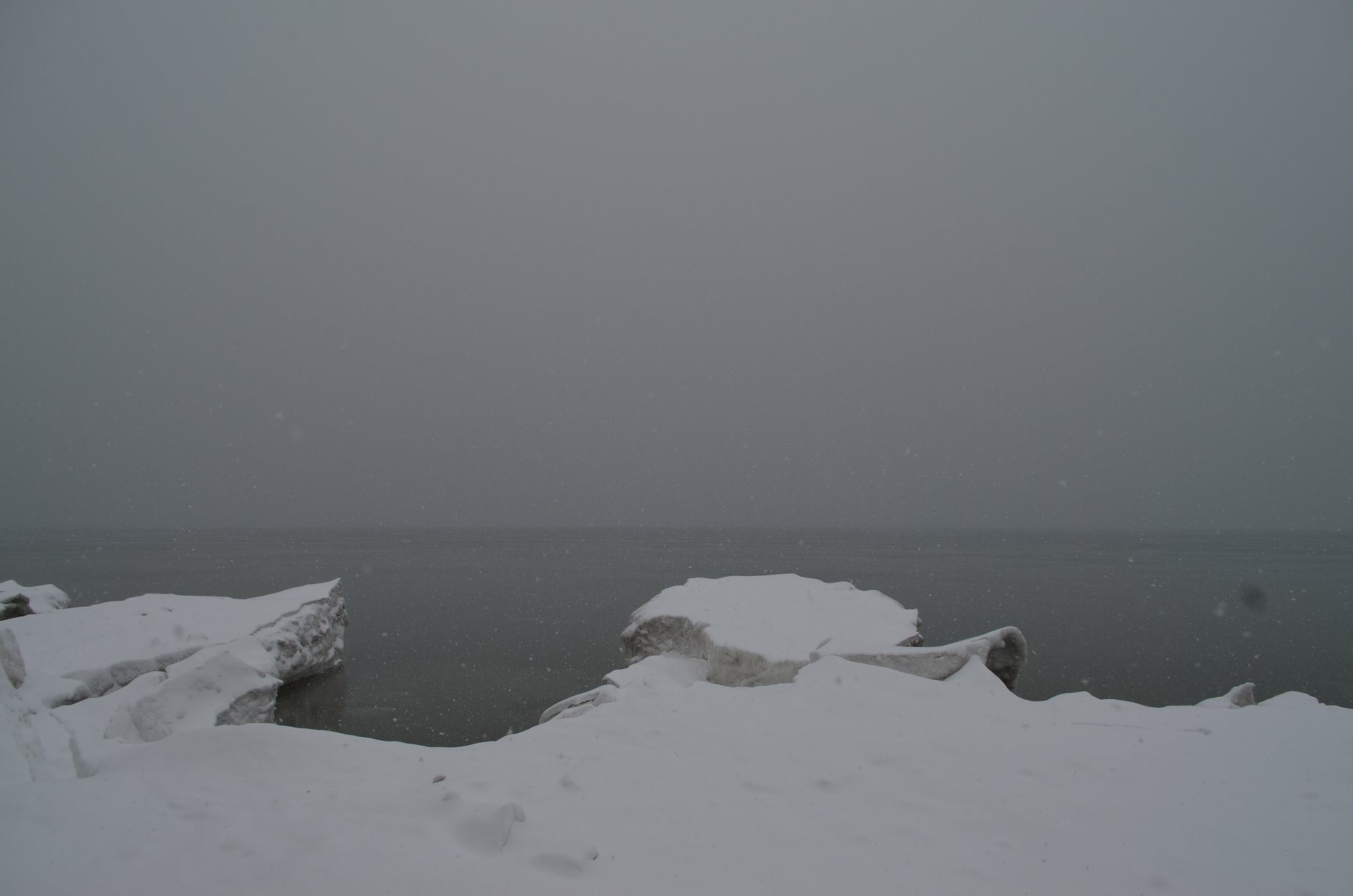
A calm wintry scene at the lakeshore with pack ice mounds in the foreground. Remember, no climbing on the pack ice – despite the fact that it is a large hunk of water in solid form, it is *not* solid!
There have been a number of other snow events the past few weeks as well, but none that dropped more snow than this Wednesday’s event. Over winter break, however, in the wee hours of the morning December 27, Oswego received a staggering 30” of lake-effect snowfall in a 6 hour period! That’s an average snowfall rate of about 5” per hour. Nearly the fastest snow will ever come down around here. Now, if that would happen while we’re here to see it…..
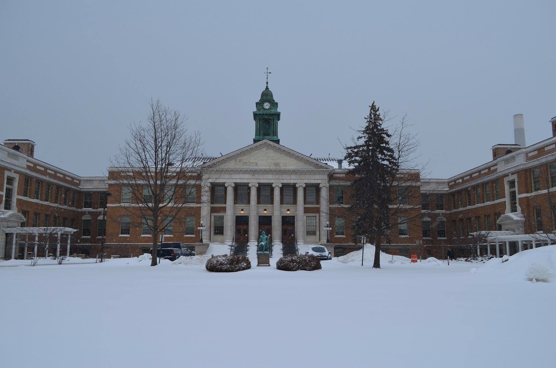
Sheldon Hall with a fresh blanket of snow after the Feb. 7th event.
Unfortunately for the snow lovers, the next couple of weeks look to turn milder than averag, with few meaningful snow chances in sight. Bring on spring! (The groundhog did not get the memo.)