
Hey Oswego!
October is ending, which means fall is (literally) about to be blown away. Leaves will soon be changing and falling off the trees. For those tracking the fall foliage, we can expect peak color on campus this weekend and into next week, with a secondary peak around next weekend as the later-changing oak trees finally turn.
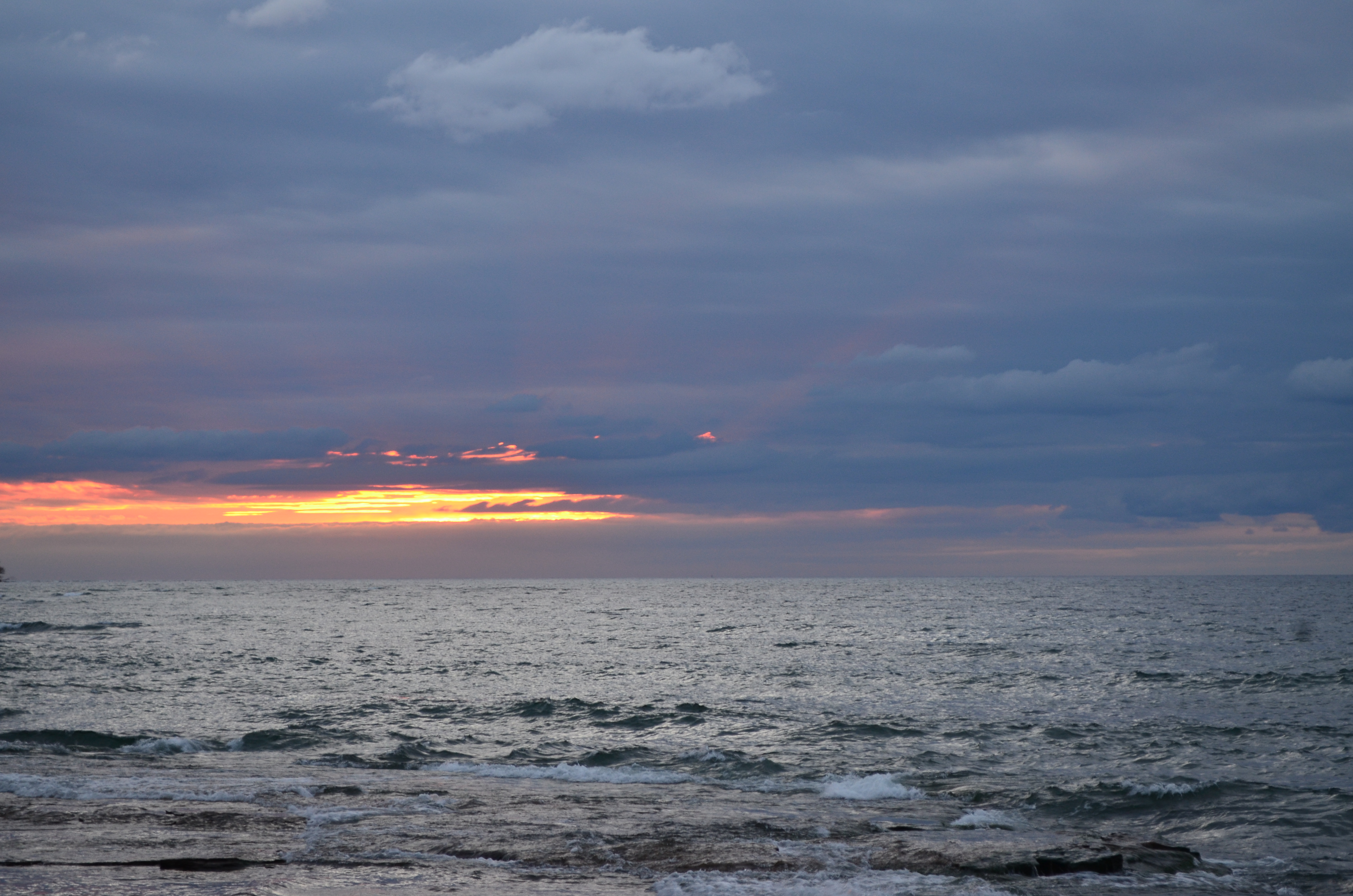
If you look closely, you’ll notice some wavy clouds in the left-center of this image from Oct. 25th. These are Kelvin-Helmholtz clouds! This is the second time I’ve seen them directly in front of a sunset. (First time here.)
The bigger weather story in the past couple of weeks was the storm that blew through Oswego and the surrounding area on Sunday, the 15th. Campus weather stations recorded wind gusts as high as 53 mph as the storm approached. Additionally, the leading edge of the storm featured a shelf cloud:

A shelf cloud is found at the front edge of a line of storms, and is result of air being lifted (often due to a cold front) and then condensing, forming a cloud. Typically, the presence of this cloud indicates that strong winds will occur at the leading edge of the storm, often a minute or two before the rain actually begins. This occurred with this storm, with the strongest winds just before and just after the heavy rain started.
We’re expecting a huge dive into autumn these next several days here in Oswego. A stormy system looks to dump a few inches of rain across the region, and bringing in chilly air behind it. It’s finally happening! Now let’s just hope I’m not talking about snow in my next post…